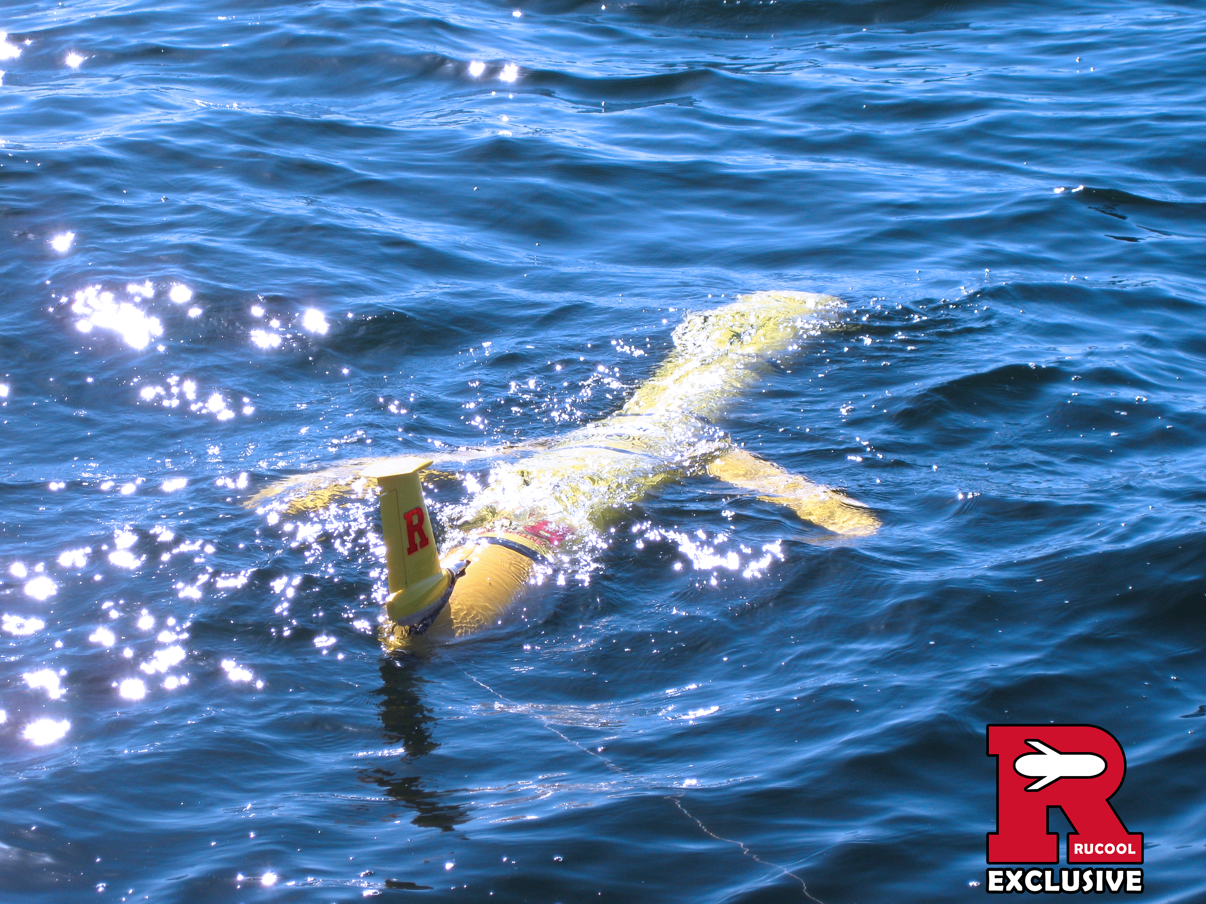
NJ101.5: This robot measures NJ water quality for weeks at a time
New Jersey 101.5 | Dino Flammia A robot enters the ocean and pulls in the right amount of sea water to help itself glide but not sink. For three weeks…
New Jersey 101.5 | Dino Flammia A robot enters the ocean and pulls in the right amount of sea water to help itself glide but not sink. For three weeks…
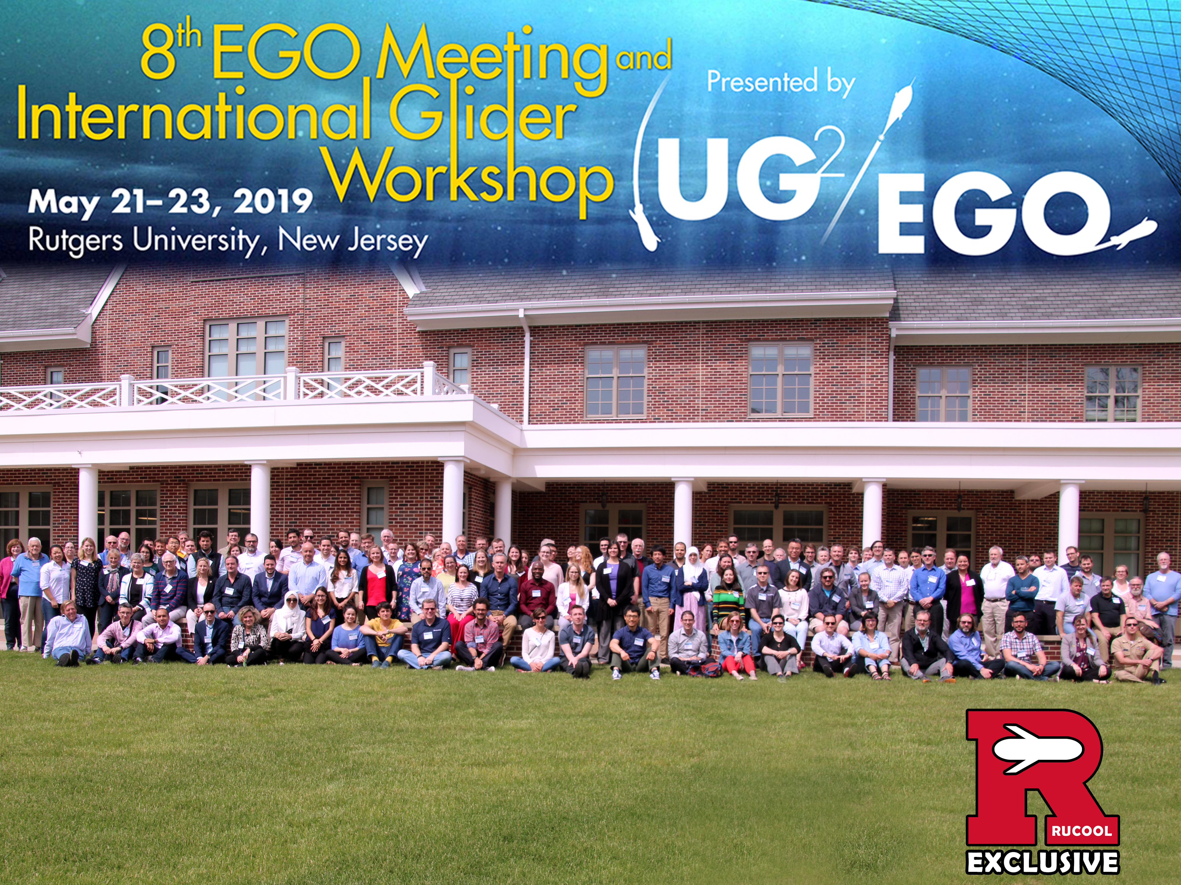
The European(EGO) and US(UG2) Autonomous Underwater Glider User Groups came together to host the 8th EGO Meeting and International Glider Workshop right here at Rutgers University May 21st - 23rd.Kicking…
Rutgers’ underwater gliders keep a watchful eye on NJ’s water quality NEW BRUNSWICK - Thousands of New Jersey residents will soon head out to the beach as summer quickly approaches.But…
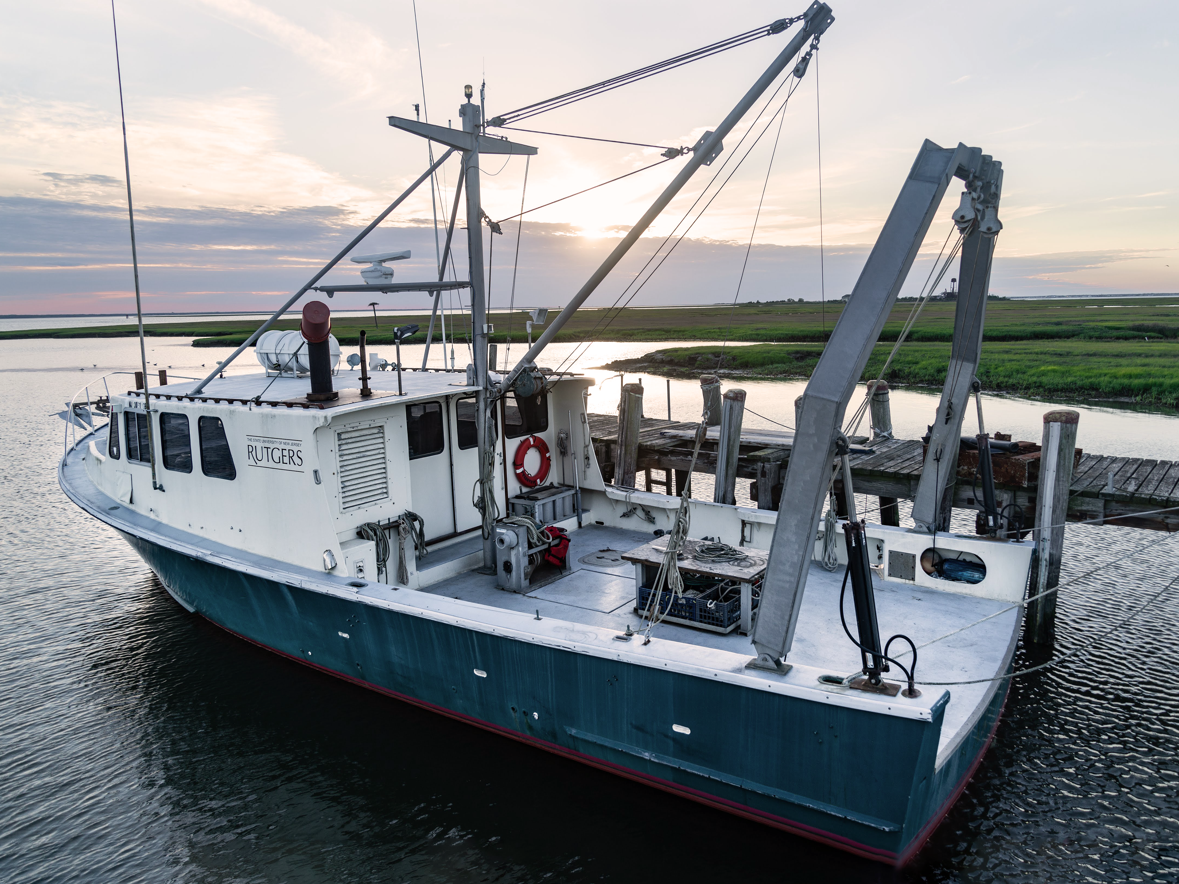
The R/V Arabella returned Monday May 20th to the RUMFS boat basin after being dry-docked for years due to inability to access docks due to siltation. Recent dredging over the…
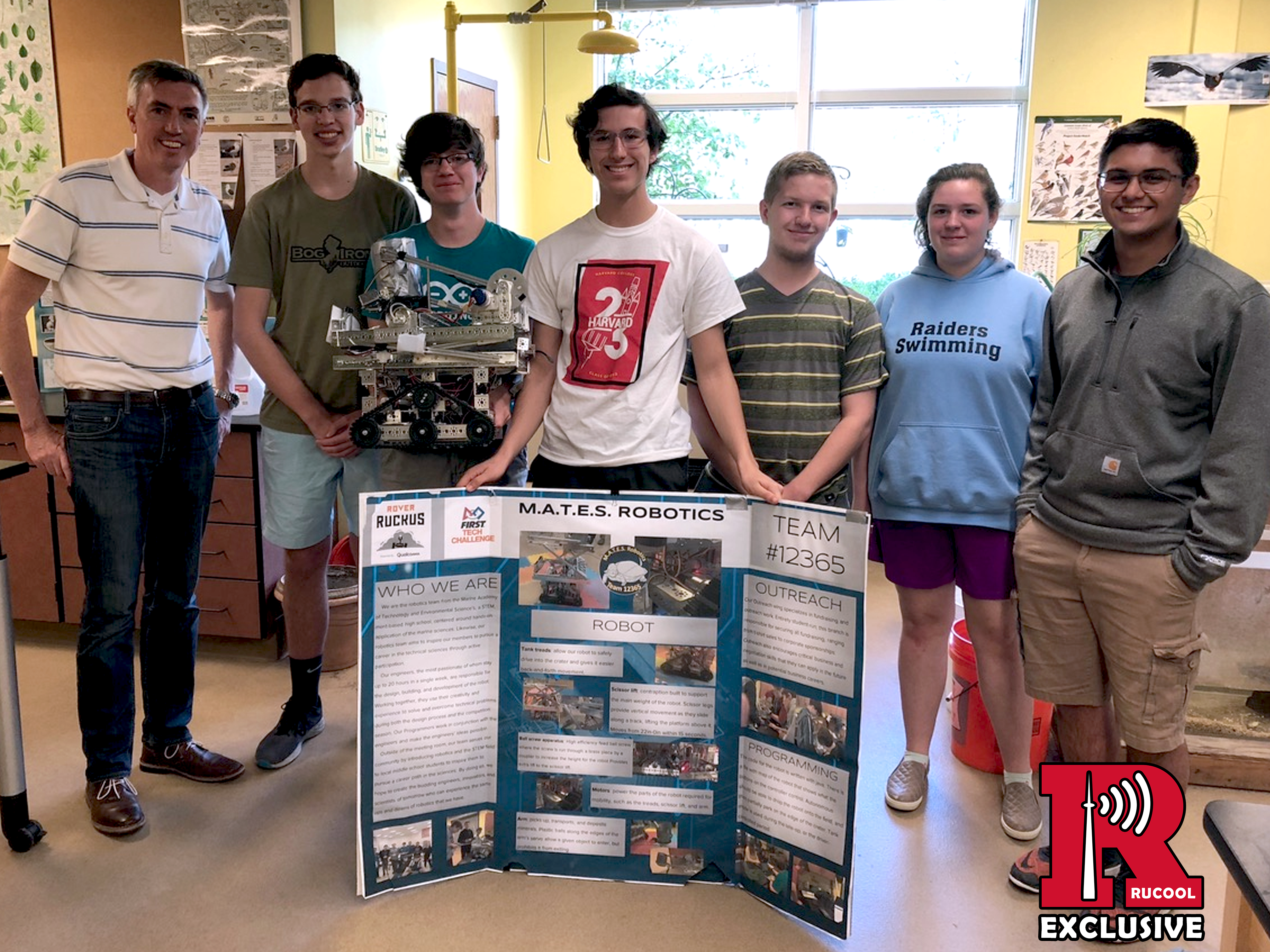
Dr. Hugh Roarty met with students from the Marine Academy for Science and Technology (MAST, Monmouth County) and Marine Academy of Technology and Environmental Science (MATES, Ocean County) to discuss…
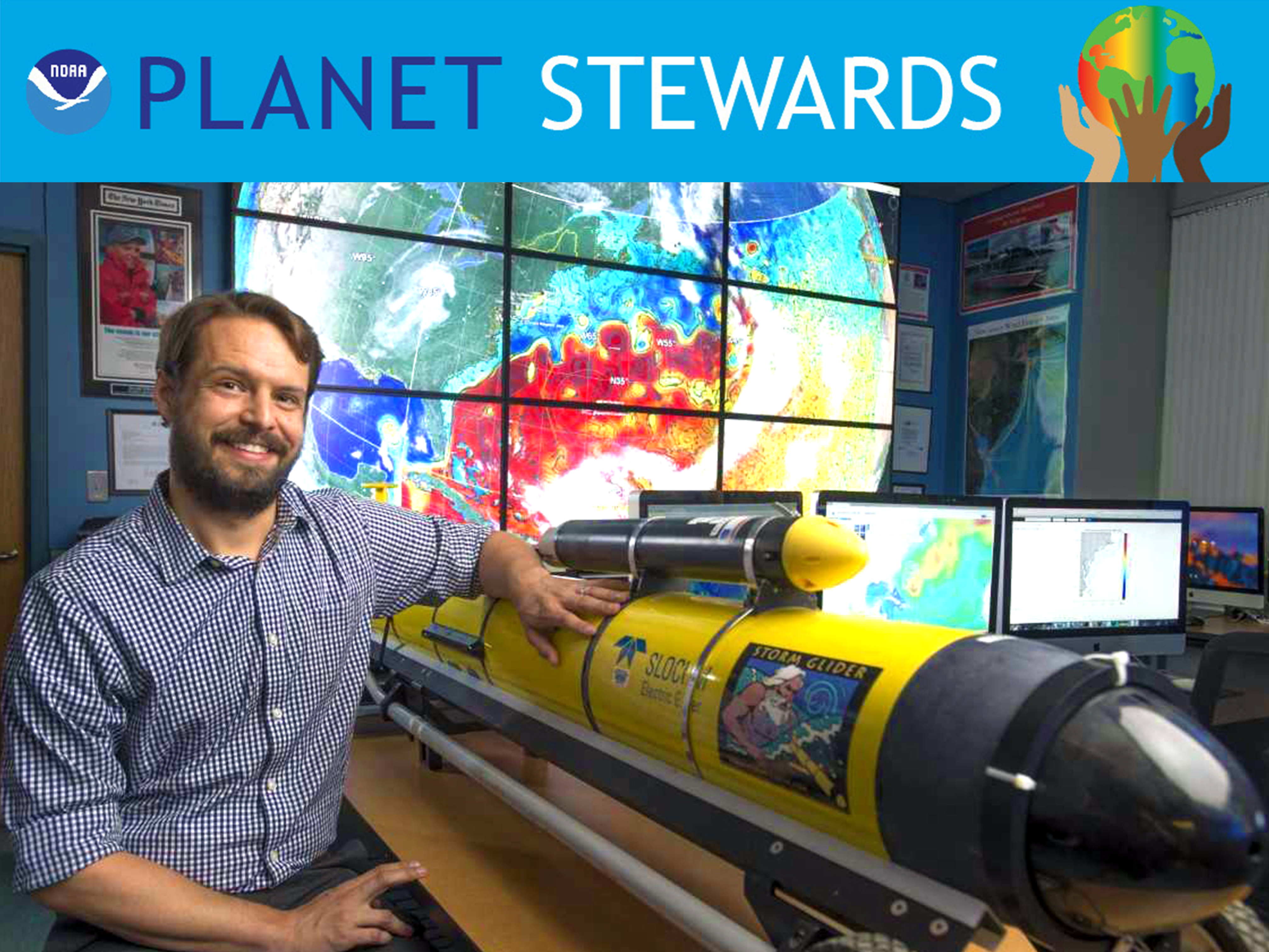
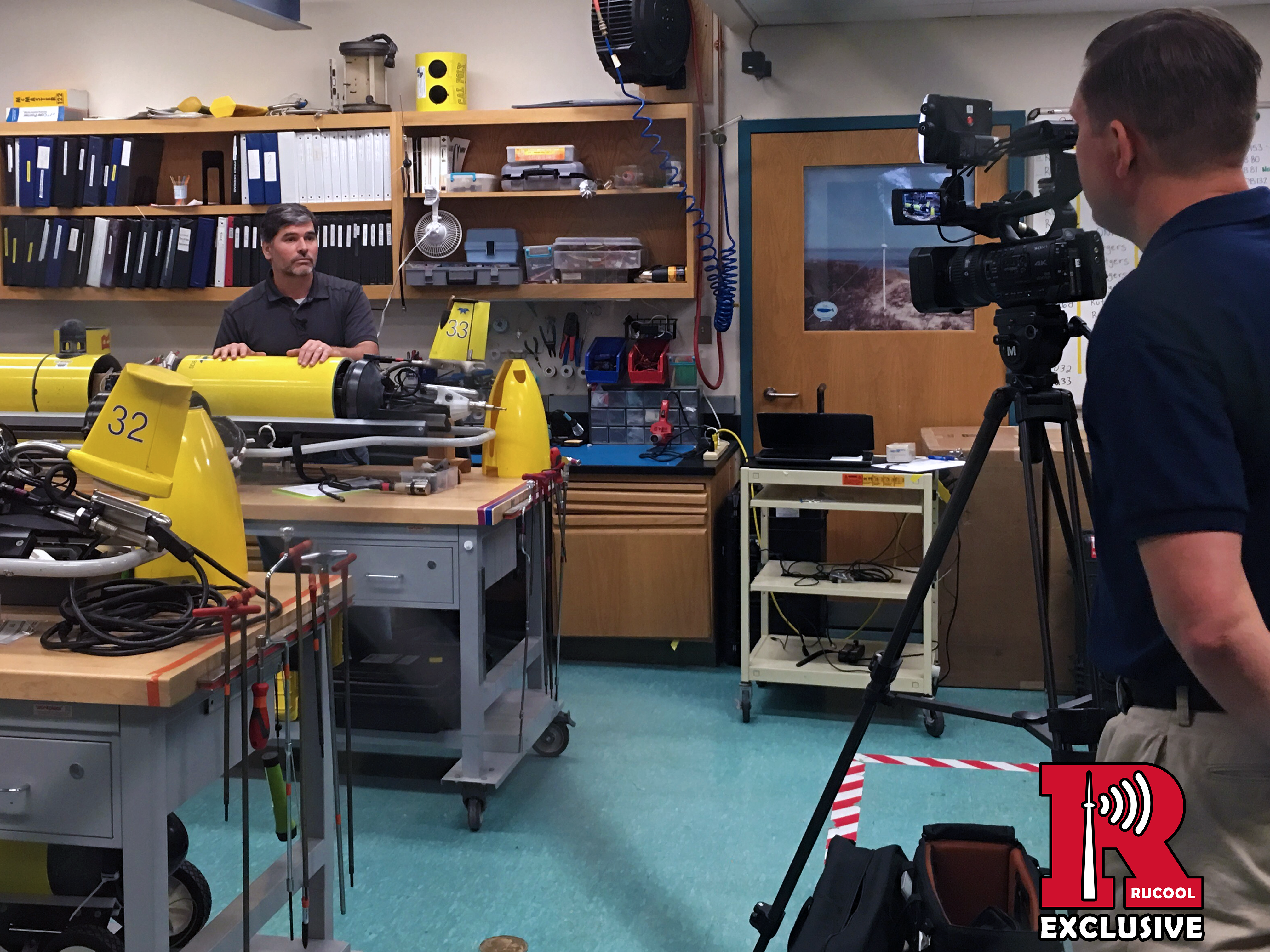
Professor Travis Miles gave a NOAA Planet Stewards Webinar on Monday, May 13 titled Hurricanes & Robots: How New Technology is Changing the Way We Study and Predict Extreme Storms.…
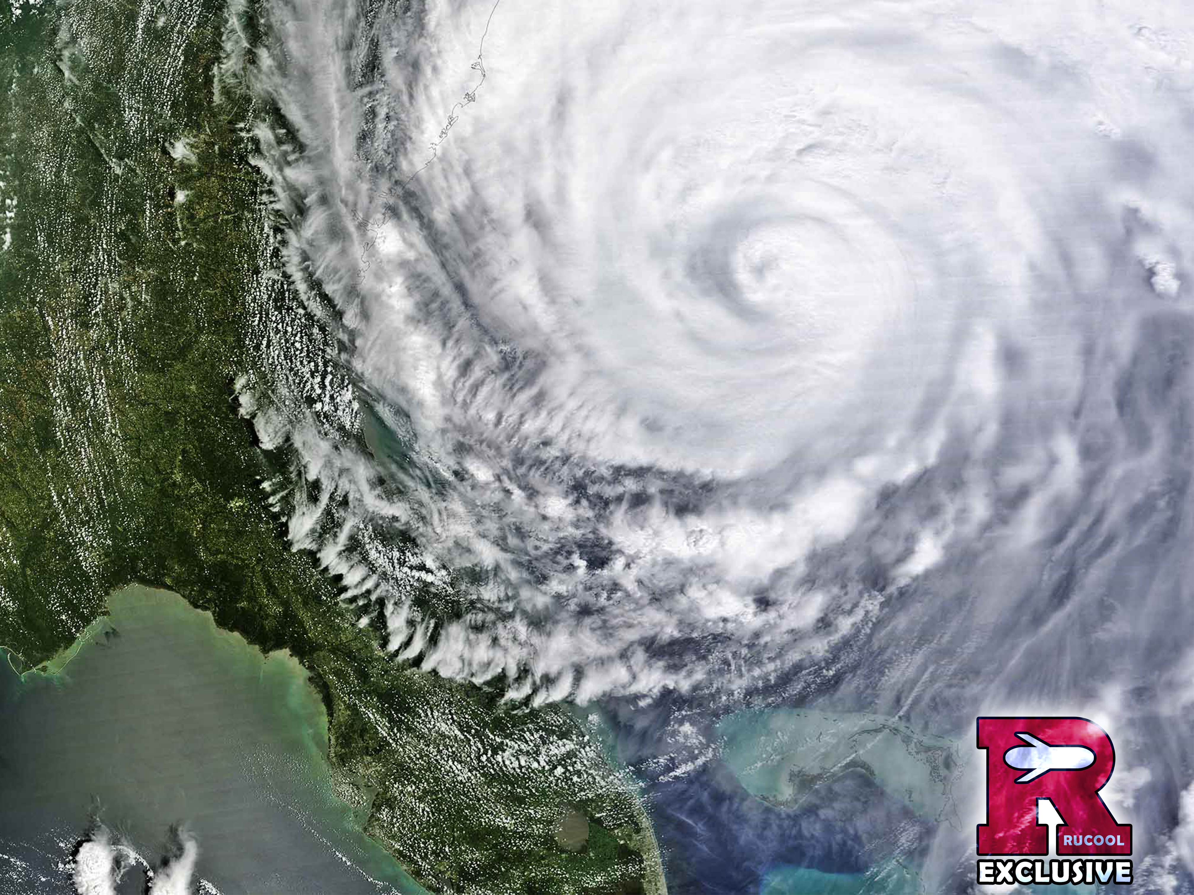
A researcher’s decision to put an underwater drone in Hurricane Irene’s path is helping to transform the science of hurricane intensity prediction. Jan Ellen Spiegel | UNDARK.org In August 2011,…