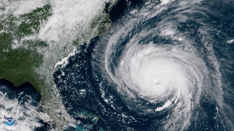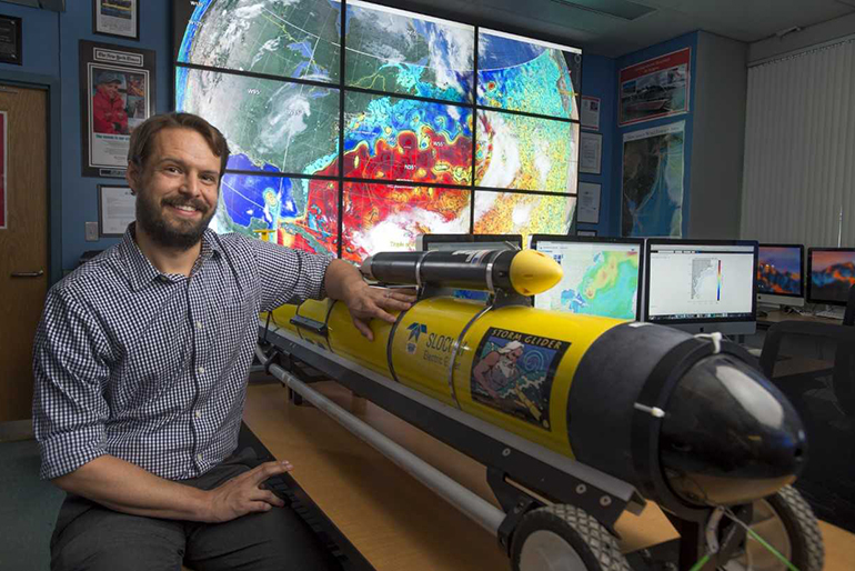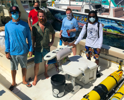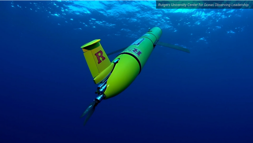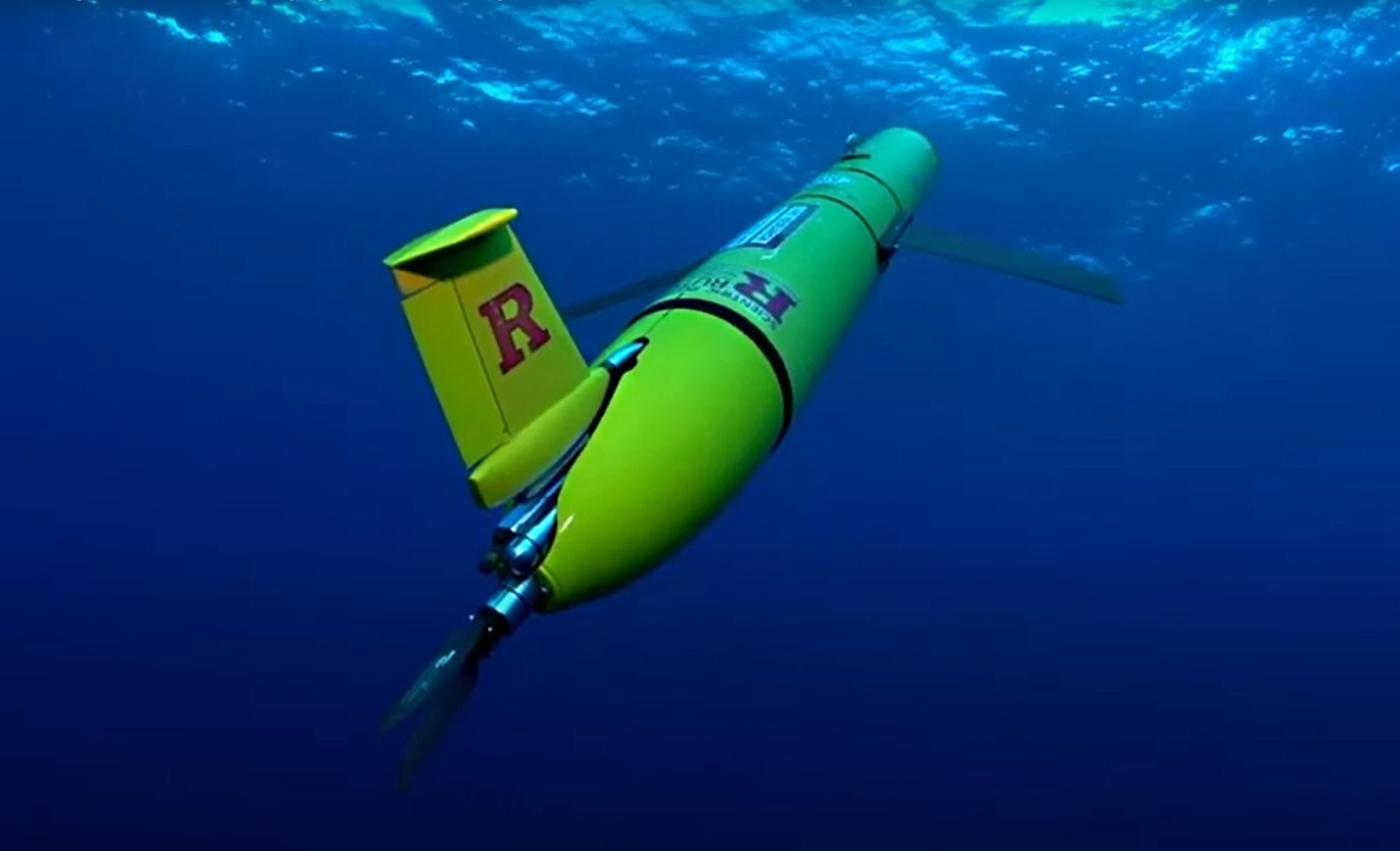
Uncrewed Ocean Gliders and Saildrones Support Hurricane Forecasting and Research
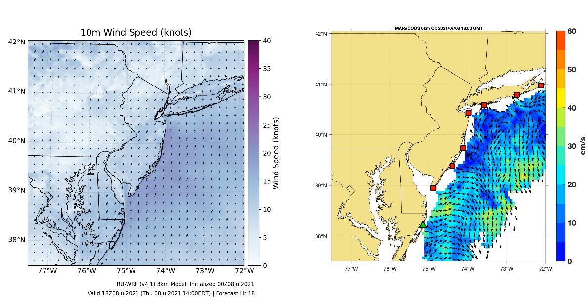
Travis Miles (lead author) and Scott Glenn partnered with dozens of other scientist on this paper that provides a broad overview of the ongoing US hurricane glider project and details…