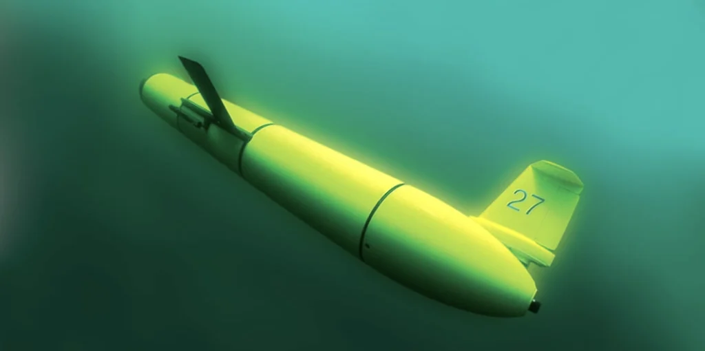
Since humans started doing research on the world’s oceans, we have used boats and ships as a means to unlock the ocean’s secrets, but these are expensive vessels to operate in a world that can become deadly when storms approach. Ocean robots can be deployed inexpensively, for hours to months at a time, and some such as ocean gliders, are right at home acquiring data in the waves at the center of a hurricane or adjacent to the ice of the Antarctic. These remote vehicles are equipped to study scientific topics such as water quality, tropical storm intensification, ocean acidification, whale foraging patterns, fisheries management and climate change. As technology has progressed, these robots have been equipped with an increasing array of instrumentation, allowing them to gather almost all the same information available through researchers at sea, making them the perfect asset to gather information ranging from pH, Oxygen, whale calls and zooplankton in our coastal oceans, to temperature, salinity, wave heights and current speeds across our ocean basins.
Rutgers Contributions
RUCOOL has become well known for our work with Slocum gliders around the globe, but there are several other robotic vehicles that we leverage for our research. Here’s a short overview of some of the platforms we use for scientific investigations.
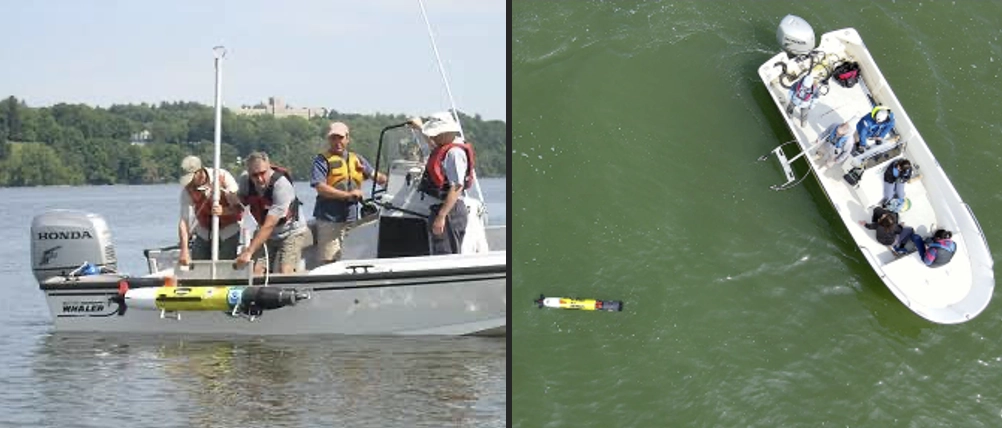
REMUS – The Remote Environmental Monitoring Units have been used in the costal ocean off NJ since 2004. These propeller driven platforms can swim for several hours acquiring data on temperature, salinity, currents, turbulence, fish tags, and even use side scan sonar to image the ocean floor as well as and fish schools or predators that swim below the vehicle.
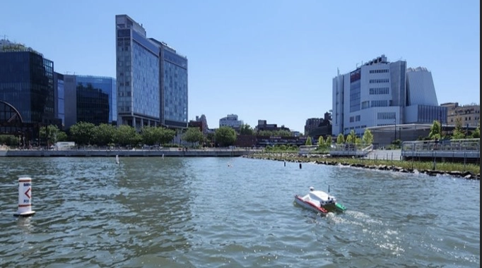
ASV – Our Autonomous Surface Vehicle has been used to map eelgrass and other submerged vegetation in the shallow marshes of the NJ back bays over the last decade
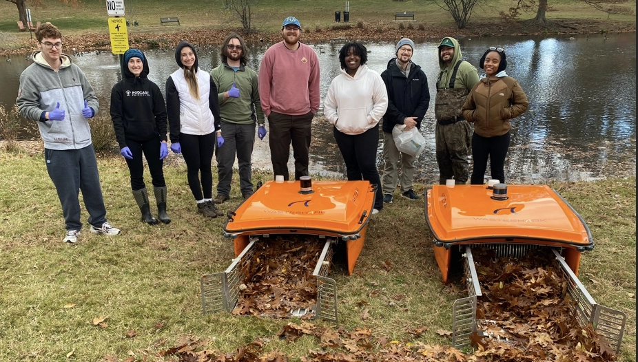
WasteShark – Our Masters of Operational Oceanography students work with the WasteShark to clean up floatable waste in our lakes and estuaries. They have recently added a temperature and salinity instrument that can send surface data to the operators in real time.
Yuco – the Yuco has been used by our students and staff. This is a small, lightweight propeller driven vehicle that can swim for a few hours at a time before needing a recharge. The vehicle acquires data on parameters like temperature and salinity, but has been used by us for seafloor and river floor mapping, leveraging the on board side scan sonar system.
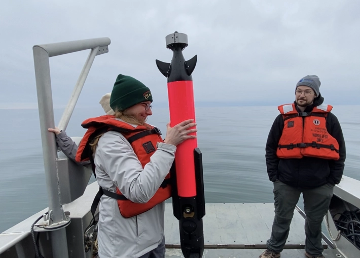
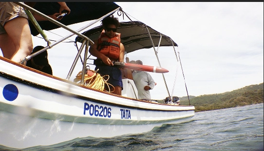
Jaiabot – RUCOOL graduate students have used the small propeller driven Jaiabot in shallow coastal waters to quickly acquire data on temperature, salinity and bio-optics parameters across frontal boundaries.