Skip to content
Rutgers
|
Rutgers-SEBS
|
Rutgers-DMCS |
Search Rutgers
About Us
Our Team
Graduate Student Alumni
Facilities
Outreach
Featured Outreach
Resources and Tools for Scientists & Educators
Awards and Recognitions
Unselfish Ocean Champions
Movies, Videos, Photos, Logos & Templates
Education
Why Study At Rutgers?
undergraduate program
Undergraduate Brochure
graduate program
Master of Operational Oceanography
Glider Technology Camp
HF Radar Technology Camp
Student Awards
The Sentinel Mission
Research
Hurricane Science
Offshore Wind
Polar Science / LTER
Palmer LTER
Ocean Acidification
Integrated Ocean Technology
Empowering the Next Generation
Current Research Projects
Publications
Presentations
Data
Technology
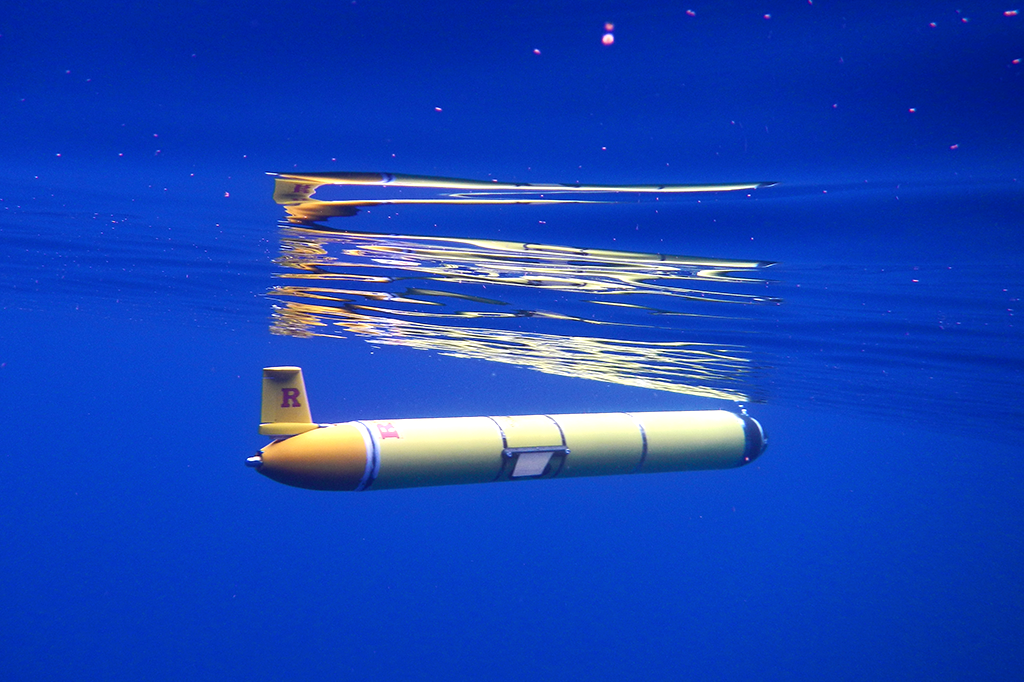
Ocean Robotics
Ocean Radar
Remote Sensing
Meteorology and Modeling
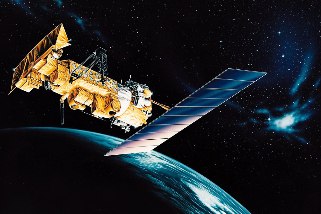
Satellites
Remote Sensing Overview
Satellite Data
About Satellites
How to read a Sea Surface Temperature Map
Codar
How Does HF Radar Work?
Surface Current Viewer
Codar Data: ERDAPP
Codar Data: Thredds
Glider Piloting Tool
Underwater Gliders
Ocean Robotics Overview
Glider Data
Glider Deployments
About Underwater Gliders
Glider Operation Checklists
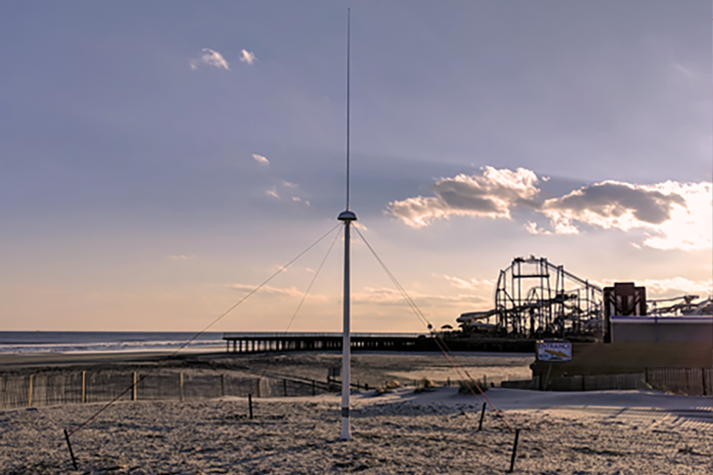
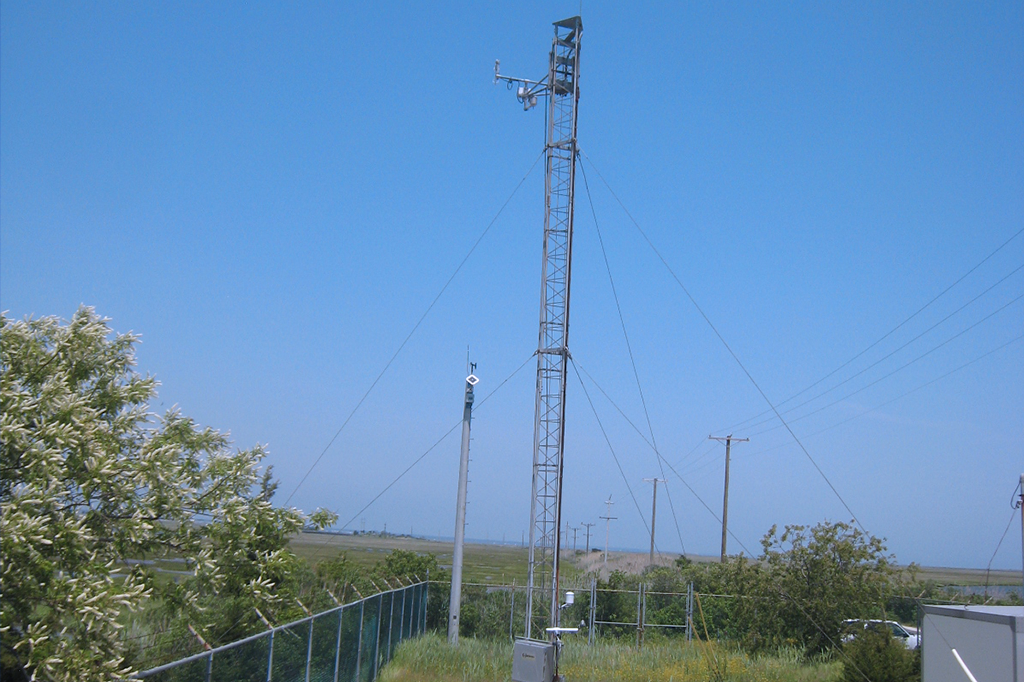
Meteorological Monitoring and Modeling
Meteorology and Modeling Overview
Coastal Metocean Monitoring Station
RUWRF Mesoscale Meteorological Model
Evaluation of Operational Ocean Models
Signature Data Sets
News
Reports
Jobs
Giving
Contact
Blogs
Challenger
Hurricanes
Operations
Polar Oceans
Toggle website search
Menu
Close
About Us
Our Team
Graduate Student Alumni
Facilities
Outreach
Featured Outreach
Resources and Tools for Scientists & Educators
Awards and Recognitions
Unselfish Ocean Champions
Movies, Videos, Photos, Logos & Templates
Education
Why Study At Rutgers?
undergraduate program
Undergraduate Brochure
graduate program
Master of Operational Oceanography
Glider Technology Camp
HF Radar Technology Camp
Student Awards
The Sentinel Mission
Research
Hurricane Science
Offshore Wind
Polar Science / LTER
Palmer LTER
Ocean Acidification
Integrated Ocean Technology
Empowering the Next Generation
Current Research Projects
Publications
Presentations
Data
Technology
Ocean Robotics
Ocean Radar
Remote Sensing
Meteorology and Modeling
Satellites
Remote Sensing Overview
Satellite Data
About Satellites
How to read a Sea Surface Temperature Map
Codar
How Does HF Radar Work?
Surface Current Viewer
Codar Data: ERDAPP
Codar Data: Thredds
Glider Piloting Tool
Underwater Gliders
Ocean Robotics Overview
Glider Data
Glider Deployments
About Underwater Gliders
Glider Operation Checklists
Meteorological Monitoring and Modeling
Meteorology and Modeling Overview
Coastal Metocean Monitoring Station
RUWRF Mesoscale Meteorological Model
Evaluation of Operational Ocean Models
Signature Data Sets
News
Reports
Jobs
Giving
Contact
Blogs
Challenger
Hurricanes
Operations
Polar Oceans
Toggle website search
Data
Satellites
Codar
Underwater Gliders
Meteorological Monitoring and Modeling