
Gain Marketable Skills in 12 Months
A combination of hands-on experience, research, and targeted coursework empowers our students to tackle real world challenges and provides them with an edge over other candidates in the job market.
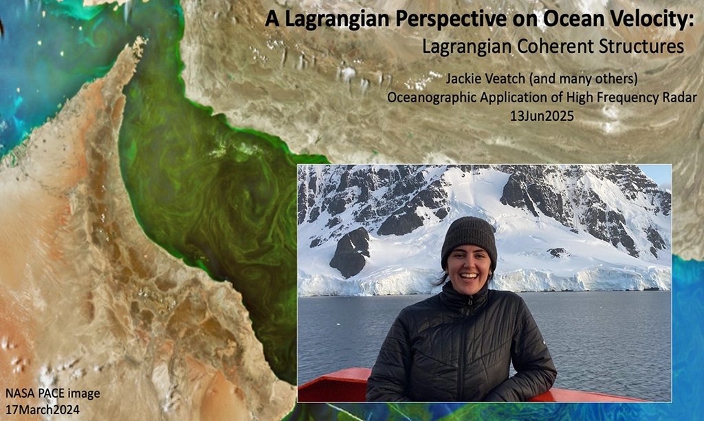
The Master of Operational Oceanography track is a compact 12-month Master of Science degree program providing thorough but efficient applied training for students from around the world. For Rutgers students, it also provides a concise path for marine science undergraduates to earn a master’s with a single year of additional training (a “4+1” model).
With small class numbers and an individualized mentorship model, we support our students in building :
- marine science expertise
- collaborative skills
- observing system technology experience
- data literacy
- ocean modeling literacy
- communication skills
- job preparation
Our Program
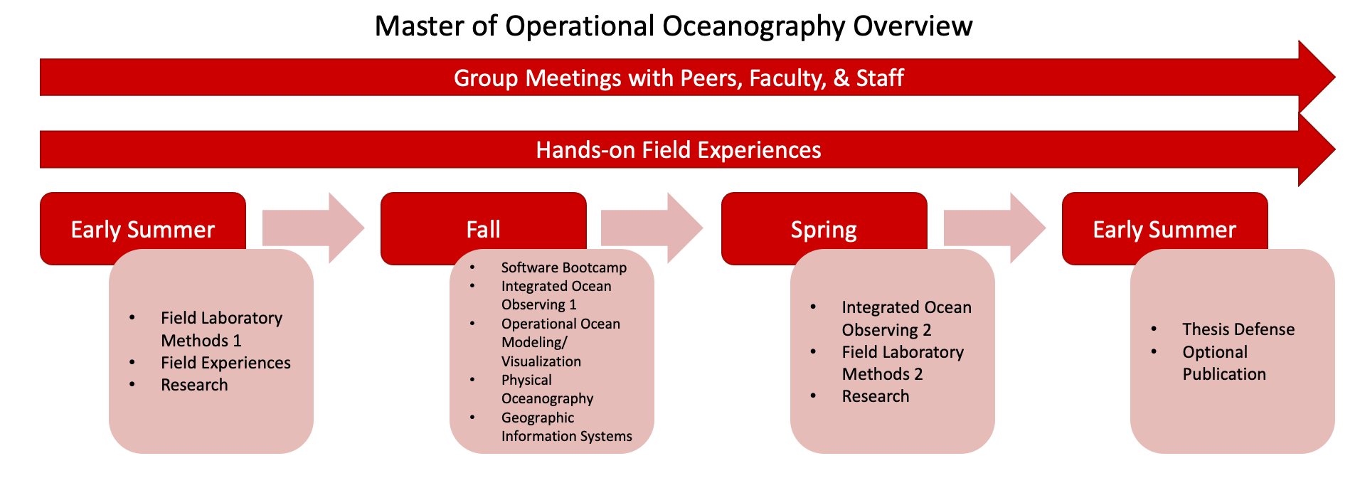
The Master of Operational Oceanography track is grounded in a three prong approach: building foundational knowledge and practical skills through core courses, providing opportunities to gain real experience working with marine technology, and fostering connections with professionals and peers.
Core Courses
Summer Session III:
16:712:507 Field Laboratory Methods 1:
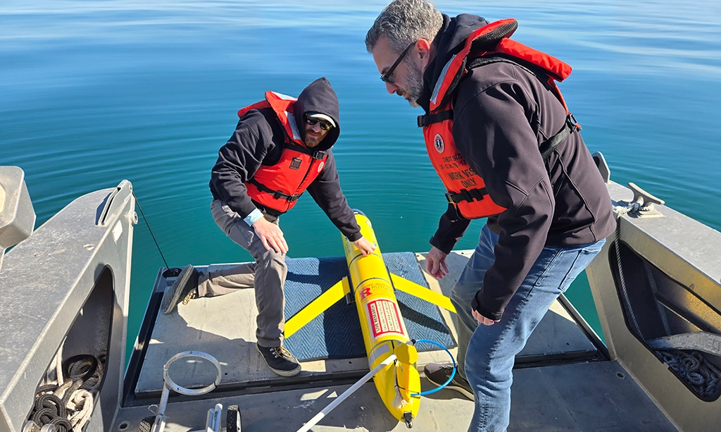
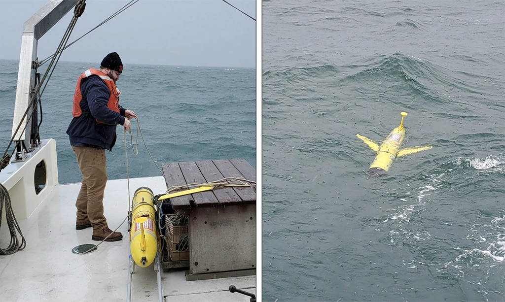
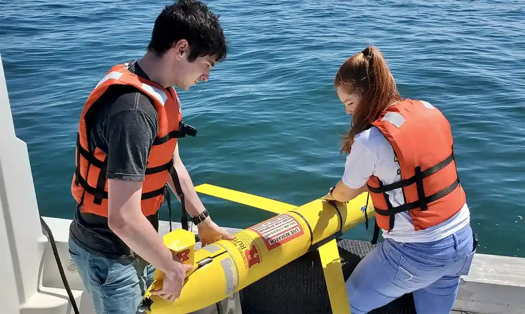
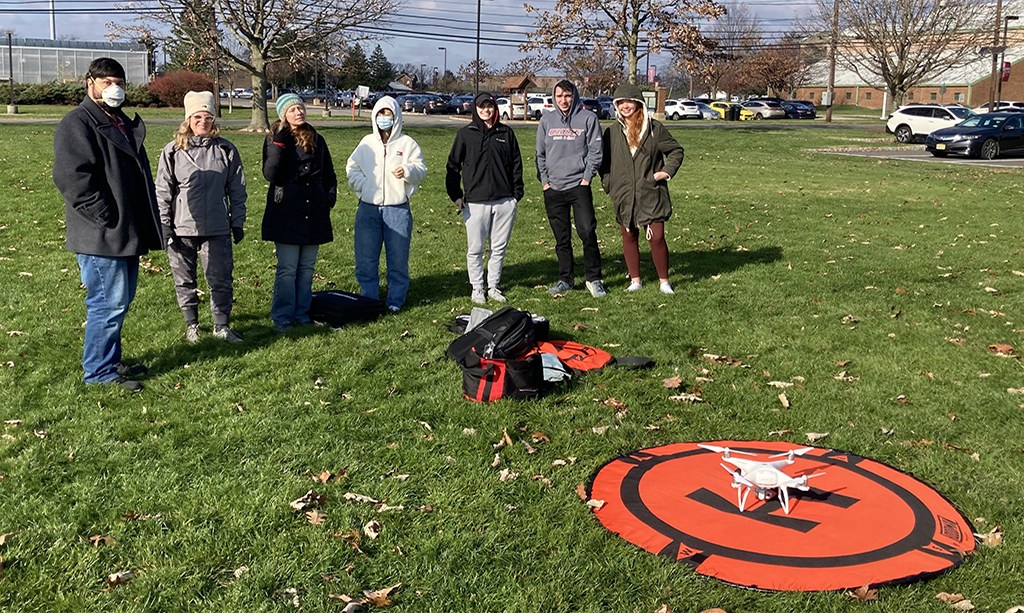
This hands-on laboratory course provides students with practical experience in ocean observation techniques and field data collection. Students will gain direct exposure to key marine technologies, including shipboard sensors, autonomous underwater vehicles, high-frequency radar (HFR), and electronic systems used in operational oceanography. Through lab exercises and field deployments, students will develop essential technical skills needed for careers in marine science and industry. The course emphasizes vessel safety, equipment handling, data visualization, and electronic system troubleshooting, ensuring that students are well-prepared to work in dynamic field environments.
Fall Semester:
16:712:501 Physical Oceanography:
Physical properties and basic equations for describing waves, tides, currents, and the large-scale wind-driven and thermohaline circulation. Ekman, geostrophic, and inertial flows. Gulf Stream; air-sea interactions; El Niño.
16:712:505 Integrated Ocean Observing 1:
This course provides a comprehensive introduction to the essential tools and techniques used in ocean observation. Students will develop a strong theoretical foundation in major ocean observing approaches while gaining practical experience in data collection, processing, and analysis. The course emphasizes the application of observational data to address real-world marine and environmental challenges. Through lectures, hands-on exercises, and fieldwork, students will acquire the technical skills necessary for careers in marine science, environmental monitoring, and related industries.
16:712:509 Integrated Ocean Observing – Software Bootcamp:
This bootcamp introduces widely used scientific computing tools and fundamental coding practices for ocean and geoscience research. Designed for beginners, the course focuses on building a strong programming foundation to enhance data analysis, visualization, and reproducibility. Topics include Jupyter notebooks, Unix shell scripting, Python programming, and essential geoscience libraries such as NumPy, Matplotlib, Pandas, Xarray, and Cartopy. Students will also learn version control with Git and how to access public Earth science datasets. The course culminates in a project tailored to each student’s research interests, helping them apply their newly acquired skills to real-world data.
16:712:510 Operational Ocean Modeling/Visualization 1:
This course provides a comprehensive introduction to the numerical and computational tools used in ocean research and forecasting. Students will explore the fundamentals of ocean modeling, gain hands-on experience running the Regional Ocean Modeling System (ROMS), and evaluate real-time operational modeling products. The course will emphasize best practices for configuring, running, and analyzing ocean models. Additionally, students will develop proficiency in handling large-scale oceanographic datasets and leveraging high-performance computing (HPC) environments to conduct advanced modeling experiments. Through interactive lectures and hands-on computational exercises, students will gain the skills necessary to interpret, analyze, and apply ocean model output to real-world scientific and operational challenges.
01:450:321 Geographic Information Systems:
Geographic Information Systems (GIS) is a rapidly growing field that is increasingly popular for a wide range of spatial analyses. Some of the uses for GIS include environmental modeling, urban and land use planning, facilities management, social and demographic change analyses, economic development, site suitability analyses, marketing, and community development and enrichment initiatives.
Spring Semester:
16:712:506 Integrated Ocean Observing 2:
The ocean plays a central role in regulating the Earth’s climate, supporting biodiversity, and sustaining human economies. Understanding and predicting ocean conditions are crucial for human safety, resource management, and scientific advancement. This course builds upon foundational ocean observing concepts by exploring advanced observational techniques, data-driven forecasting, and real-world applications in marine industries. Students will gain hands-on experience with cutting-edge oceanographic tools, sensor networks, and data analysis methods while also preparing for professional careers in ocean science and technology. Through lectures, workshops, and practical exercises, students will develop technical expertise and critical thinking skills essential for addressing global, regional, and coastal ocean challenges.
16:712:508 Field Laboratory Methods 2:
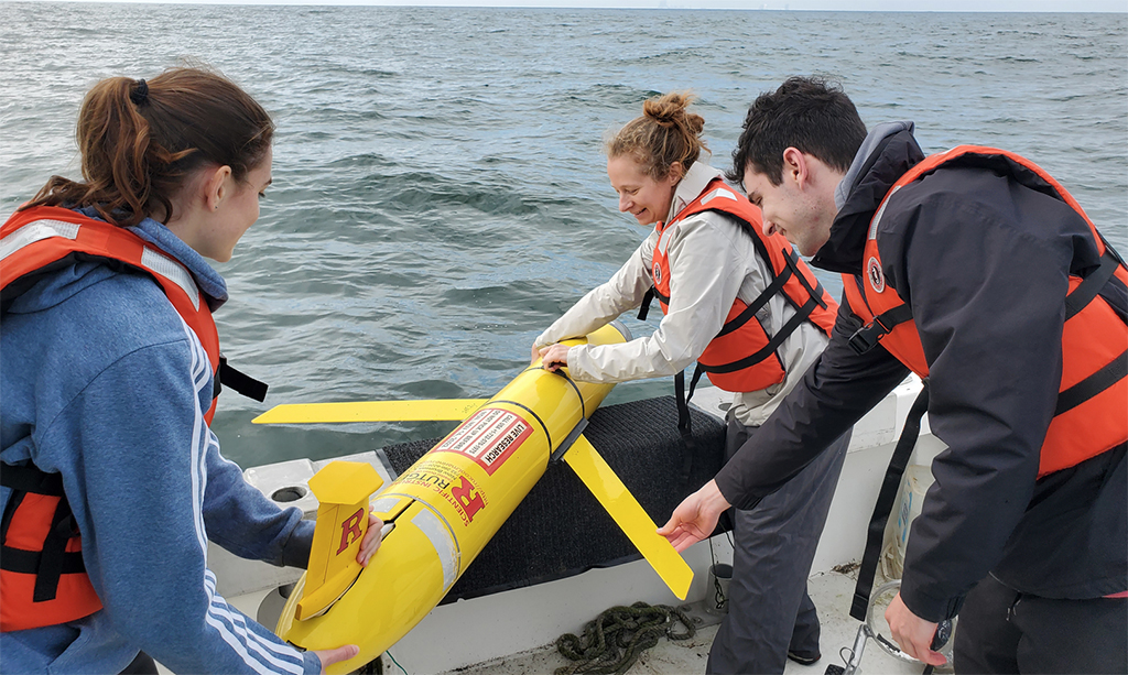
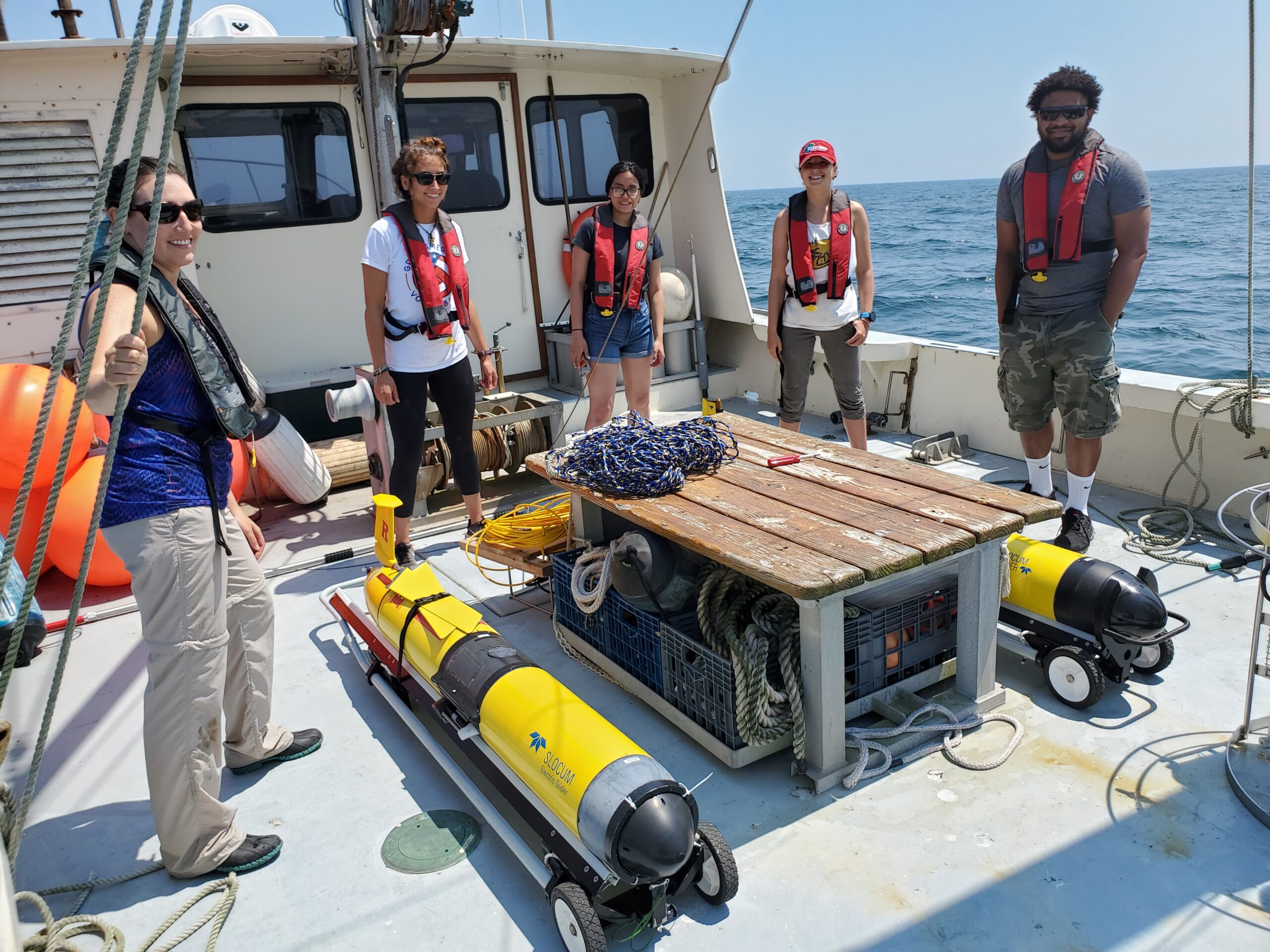
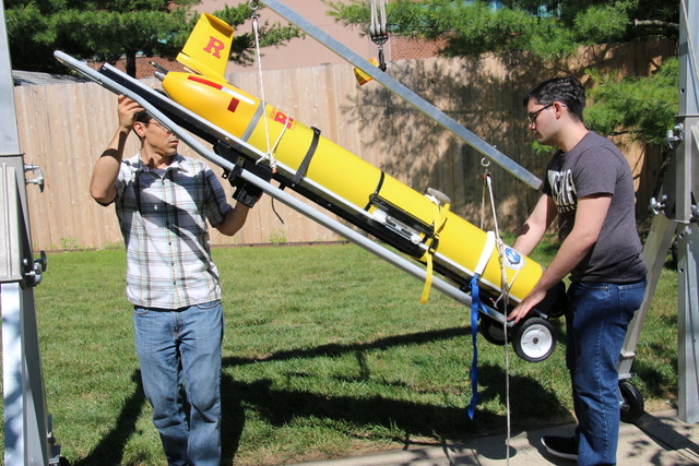
Building on the foundational skills developed in Field Lab Methods 1, this advanced laboratory course provides students with in-depth hands-on training in ocean observation technologies and fieldwork. Students will refine their skills in sensor development, glider preparation, high-frequency radar (HFR) operations, and autonomous underwater vehicle (AUV) deployments. The course includes extensive fieldwork, research cruises, and shipboard instrumentation training, enabling students to apply theoretical knowledge in real-world marine environments. Emphasis is placed on data acquisition, processing, and analysis to support scientific and operational oceanography.
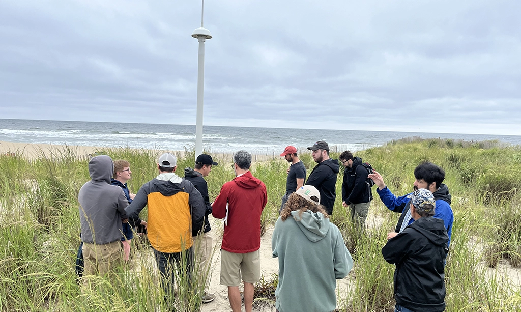
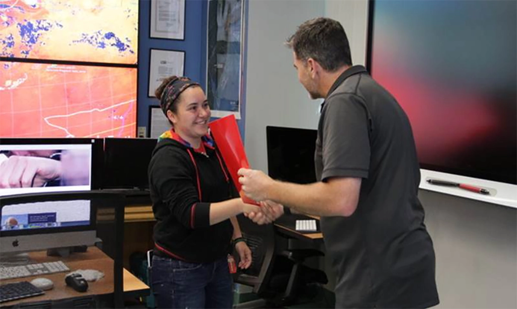
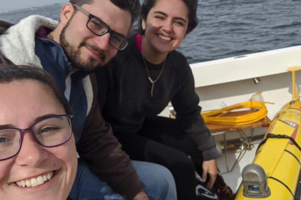
Field Experience
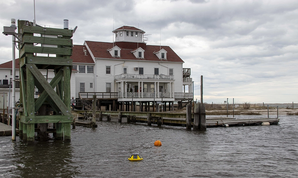
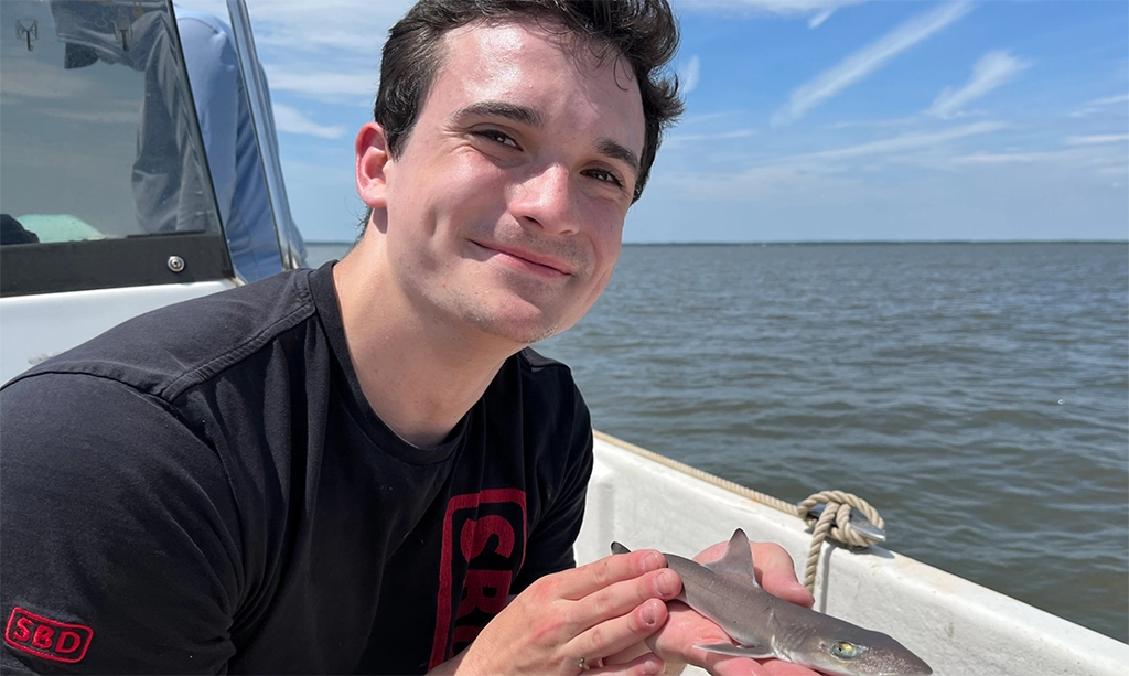
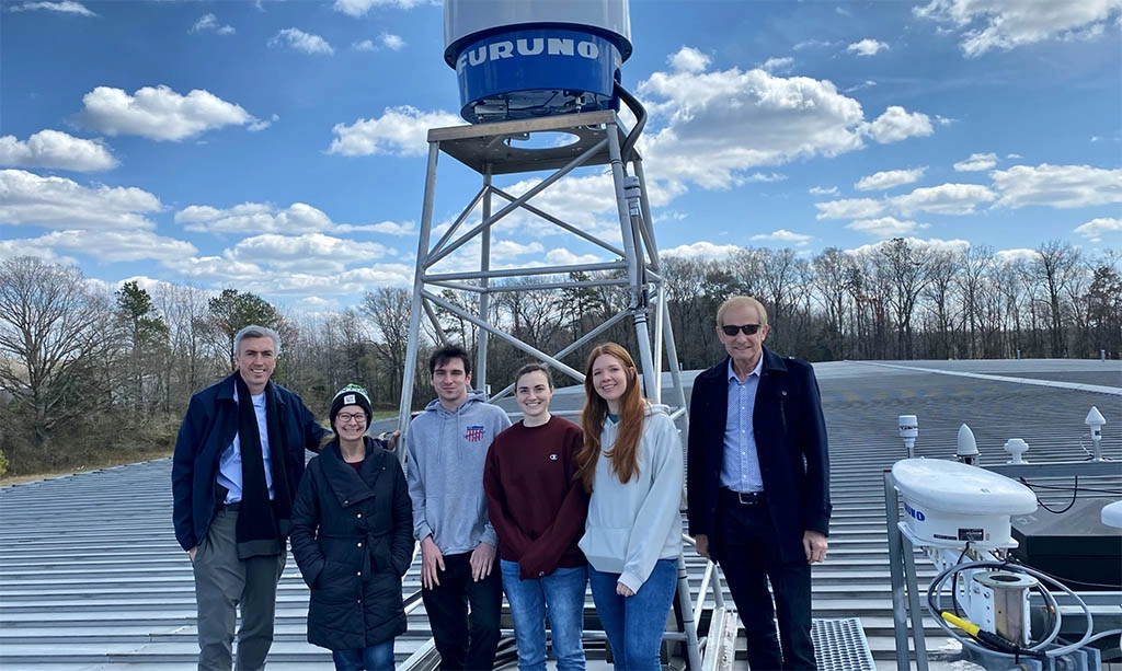
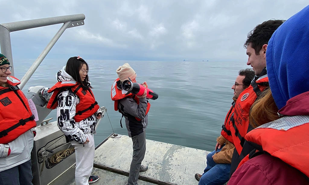
Our students benefit from joining one of the worlds most advanced and longest operating ocean observatories. As part of our team, students work directly with our faculty, technicians, and partners across NJ and worldwide to deploy and repair gliders, help install and maintain our high frequency radar network, and operate marine equipment to support ongoing RUCOOL research.
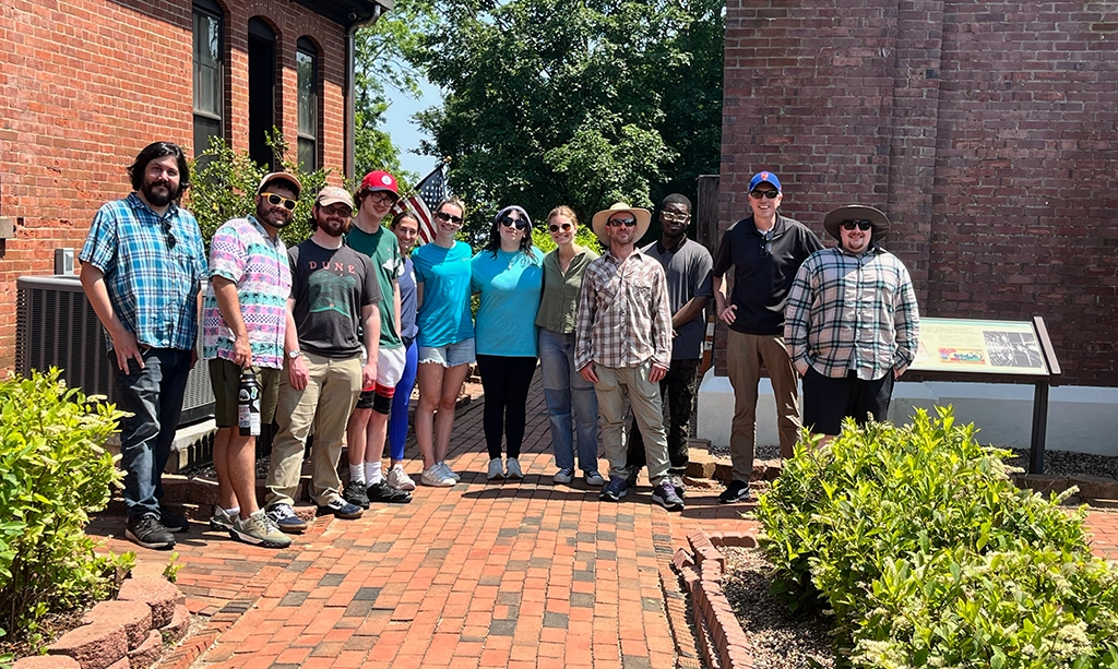
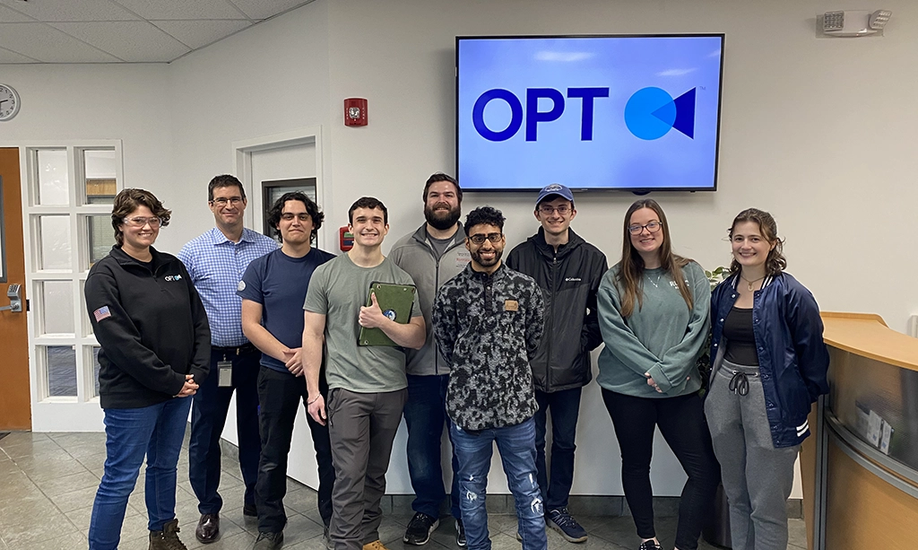
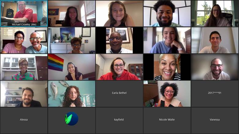
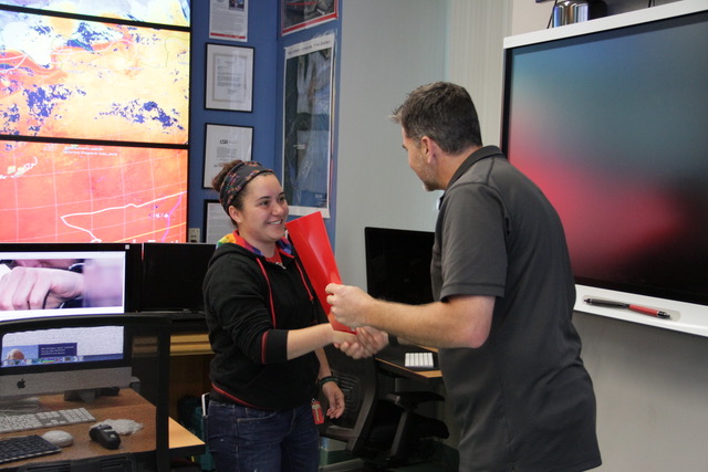
Mentoring
Students participate in group and individual meetings throughout the program so that we can best support them both during the program and as they embark on their career path. Group meetings allow students to learn from and collaborate with the entire RUCOOL group. Meanwhile, 1-on-1 meetings help our faculty to identify and work with each student to meet their research and career goals.
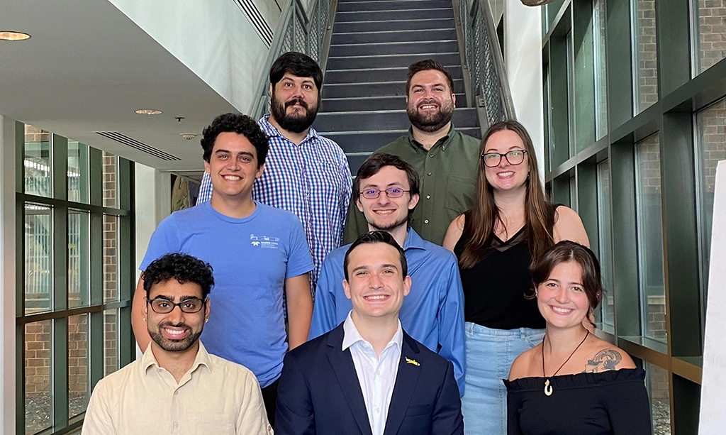
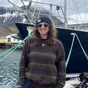
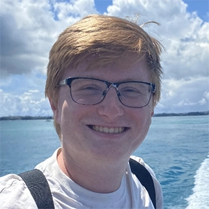
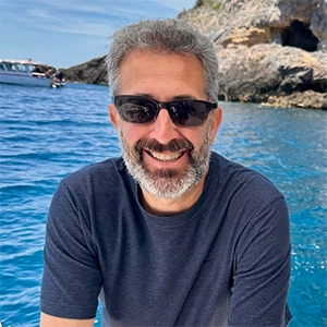
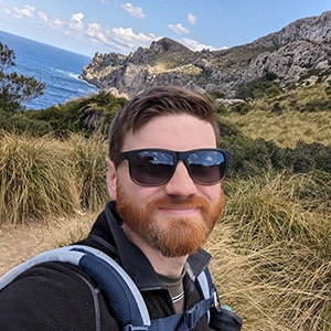
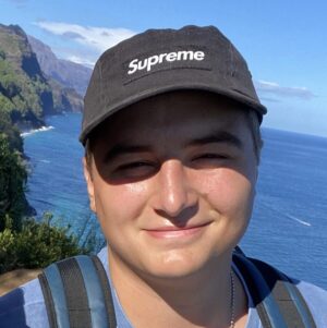
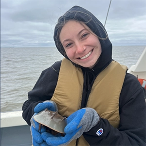
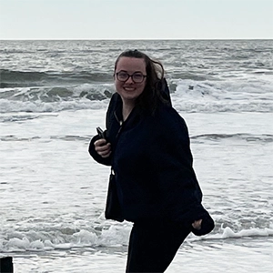
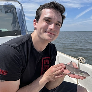
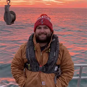
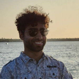
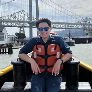
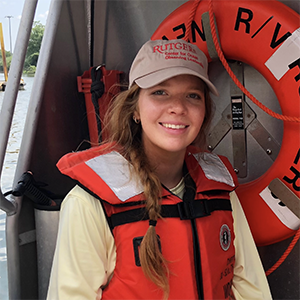
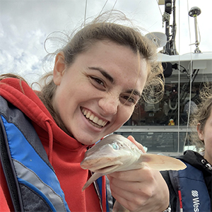
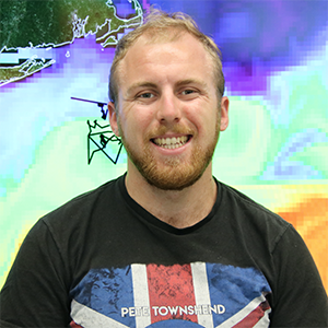
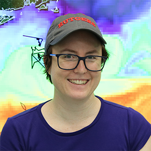
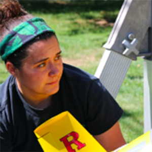
Current Students | |||
 |  |  |  |
 |  |  |  |
 |  | ||
Testimonials


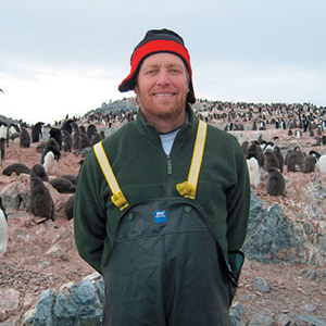
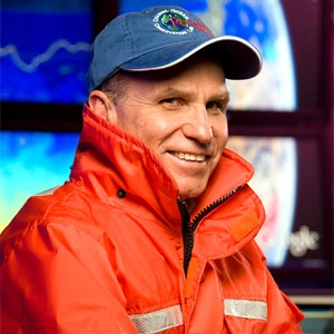
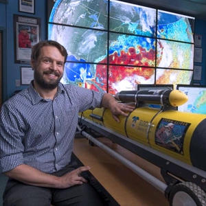
Our Team


Advisory Board | |||
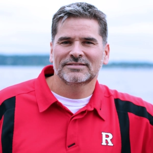
 Joseph Brodie Joseph BrodieAKRF |  Claire Condie Claire CondieMiddlesex County College |  Tom Herrington Tom HerringtonMonmouth University |  Liesl Hotaling Liesl HotalingMTS |
Application Instructions
Applications received by January 1 receive full consideration. Applications received after that may be considered on a rolling basis but are not guaranteed. The program begins in late July each year.
For information about applying to Rutgers graduate school see this page: http://gradstudy.rutgers.edu/.
Application requirements include: a Personal Statement, official undergraduate transcripts, and three letters of recommendation. The GRE is not required for this degree program.
Application Requirements
A baccalaureate degree in marine science or related field, and one year of calculus and physics.
Costs and Funding
Master of Operational Oceanography students are self-funded, however funding assistance may be available depending on research focus. Full cost of the program attendance is based on university tuition and fees rates for the School of Graduate Studies, found here.