Rutgers Giving Day 2021
Hi, Department Chairs and Center Directors. Rutgers Giving Day will be Wednesday, March 24, 2021 and applications to participate are due on December 11. Rutgers Giving Day is an online…
Hi, Department Chairs and Center Directors. Rutgers Giving Day will be Wednesday, March 24, 2021 and applications to participate are due on December 11. Rutgers Giving Day is an online…
Since the Industrial Revolution began in the mid-18th century, Earth’s oceans have absorbed about one third of the carbon dioxide emitted through human activities. The ensuing roughly 30% increase in…

The Rutgers 4-H STEM Ambassador Program was established in 2009 by a team of faculty and staff from multiple SEBS/NJAES departments and units. Since then, this dedicated team has learned…
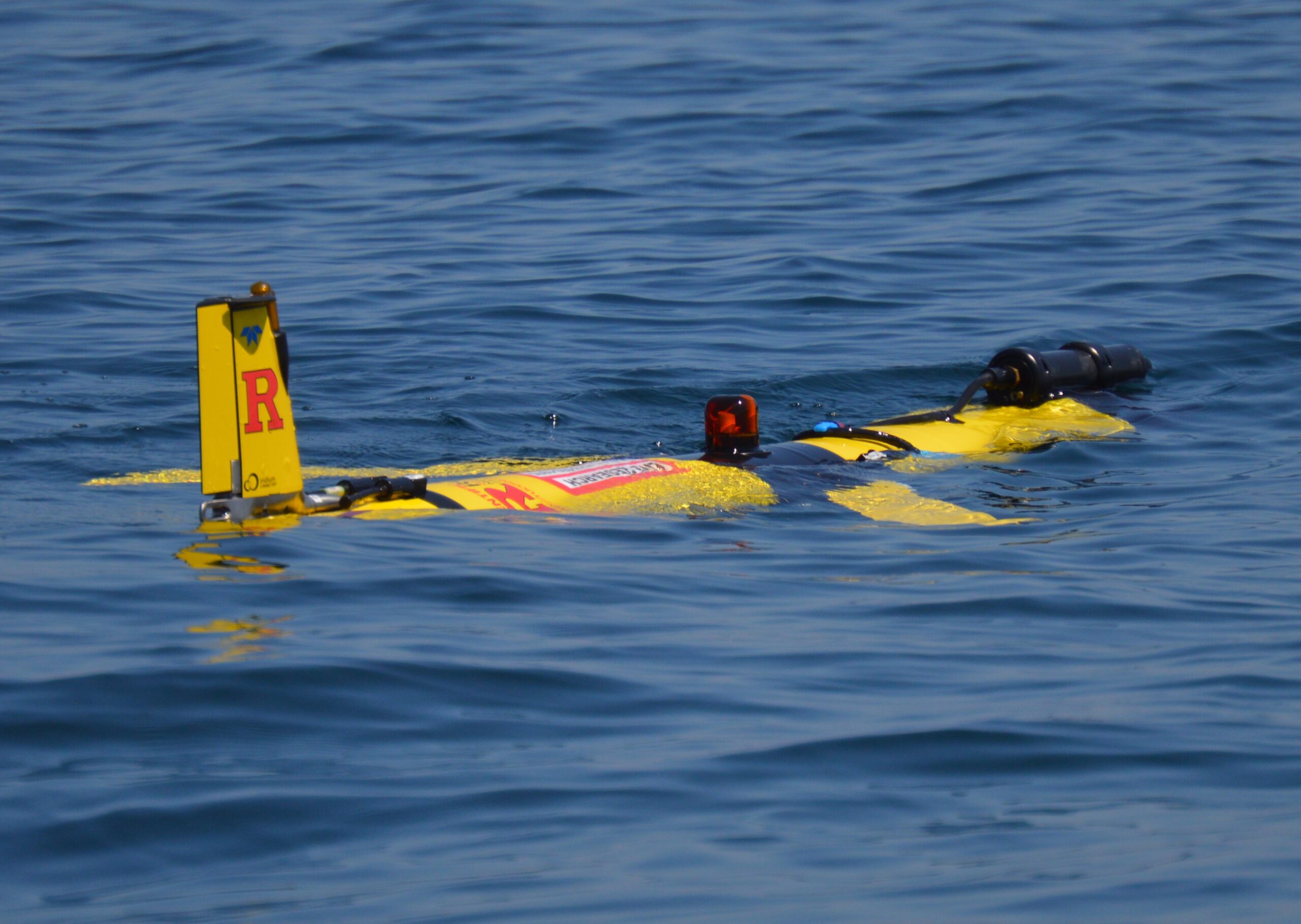
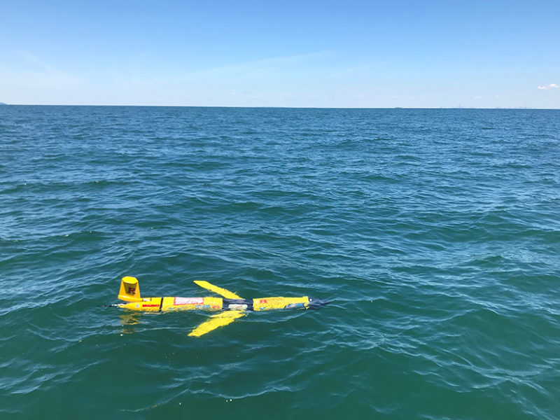
Better understanding of the habitat and migration patterns of the North Atlantic Right Whale is a key goal of the Ecosystems and Passive Acoustic Monitoring (ECO-PAM) Project, which is a…
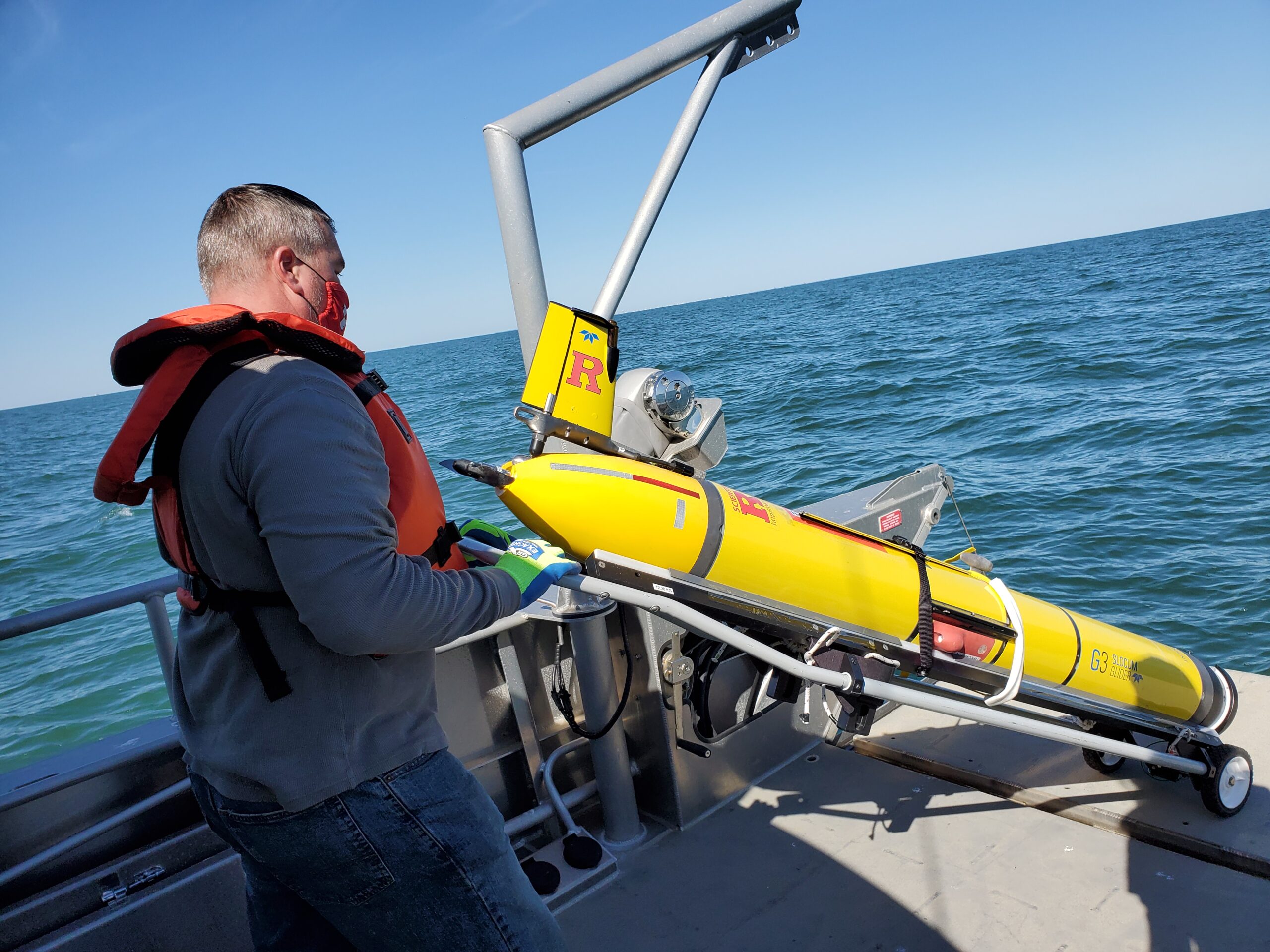
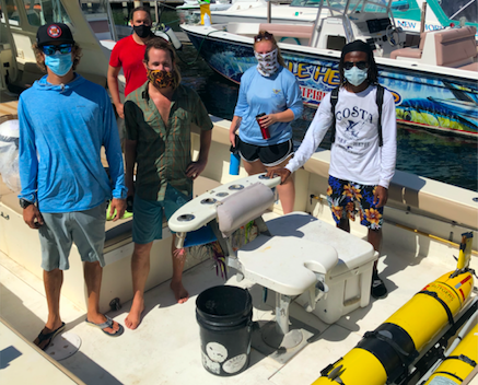
RU33 was recently deployed offshore of Tuckerton, NJ. Glider veterans Captain Chip Haldeman (pictured above) and Nicole Waite brought along a graduate student, Sam Coakley, for his first deployment. The…
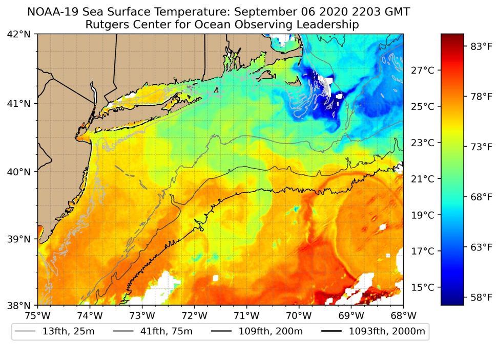
RUCOOL has been delivering real-time imagery to its website since 1994. This month we are introducing a new faster and easier to use viewer for all new and archived imagery,…
The Ocean and Coastal Observing –Virgin Islands (OCOVI) team that is part of the Caribbean Coastal Ocean Observing System (CARICOOS), partnered up with RUCOOL to deploy the RU29 glider hurricane…