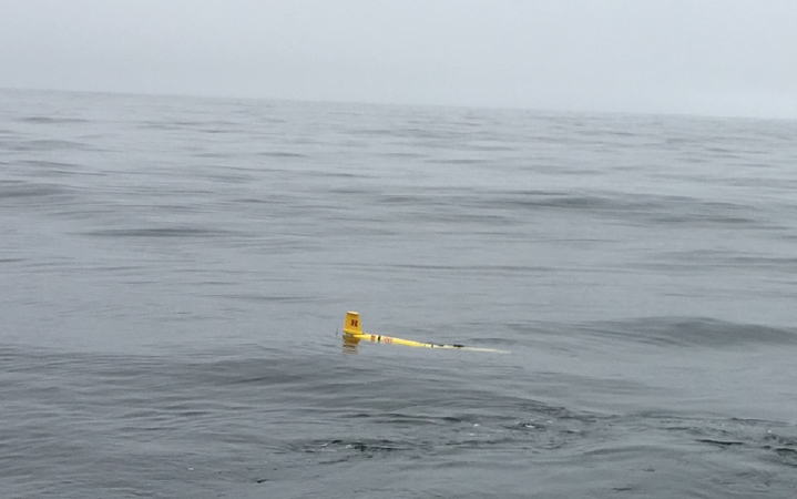
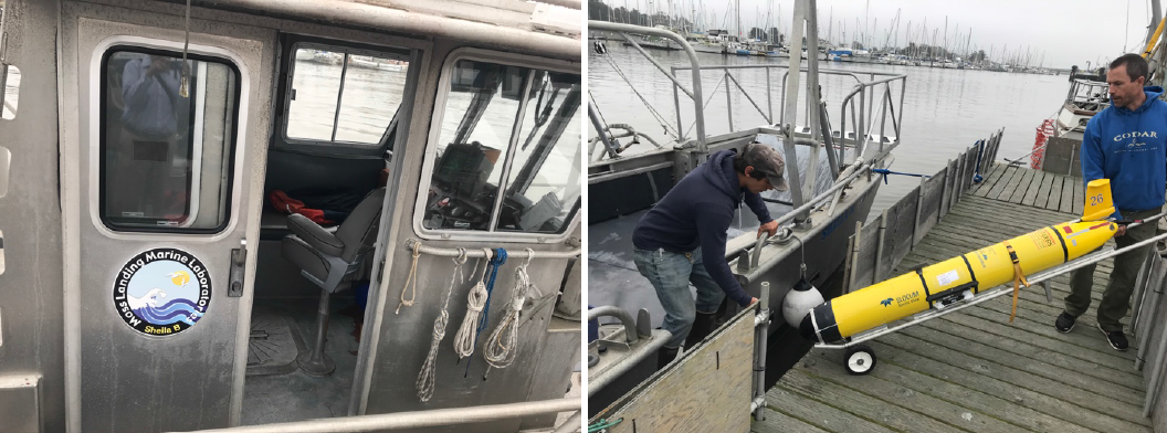
Sea Water Ocean Topography (SWOT) is a radar interferometry mission making SSH measurements over a swath 120 km wide. There is a nadir gap of 20 km where the error from interferometry is not meeting science requirement. The current candidate for the in-situ measurement is an array of gliders along the center of a swath to resolve the dynamic height at wavelengths of 15-150 km. This will consist of 20 station keeping gliders 7.5 km apart. An OSSE study suggests that a station-keeping glider making vertical loop of the upper 500 m of the water column in 2 hours can meet the requirement of providing quasi-synoptic observations of the dynamic height from the glider array for comparison with the SWOT snapshot measurement of SSH from overflight. The primary objective of the deployment is to test the capability of gliders to retrieve the upper ocean dynamic height time series derived from the M1 mooring covering the upper 300 m of the water column. The glider was deployed in Monterey Bay and transect 300km west southwest to a set of moorings and maintain a presence inside a pre-defined box. The glider will be deployed for approximately 3 months.
This is a collaborative project with NASA, JPL and with special thanks from Moss Landing Marine Labs and Ian Robbins.