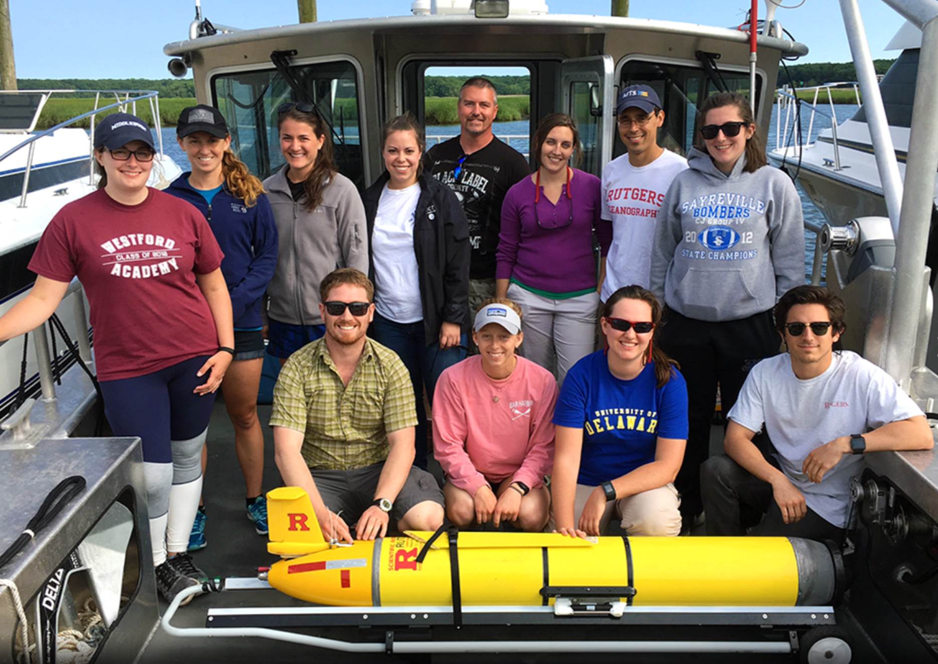
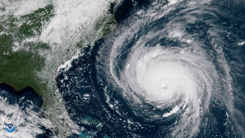
This week, RUCOOL deployed the RU30 glider in support of work by Dr. Grace Saba to study ocean pH in the New York Bight. On board the R/V Rutgers for this deployment out of the Sandy Hook area was the Ocean Methods and Data Analysis undergraduate class. Data from this glider and others can be viewed on our Glider Deployment Pages. RU30 was the 500th glider deployment that Rutgers has supported over the last 18 years. Congrats to Grace, the glider piloting team of Nicole Waite and Dave Aragon, Captain Chip Haldeman and the team on board the R/V Rutgers. We are already looking forward to the 1000th deployment!

This glider was deployed on the 2nd international mission from the US Virgin Islands and is transiting to the British Virgin Islands in order to study heat flow through the Anegada Straight. Equipped with temperature, salinity, depth and current measuring instruments, this glider will  monitor water transport and heat content in the upper 1000 meters of the ocean. This heat content is important to the formation and fueling of storms such as hurricanes. This collaborative project includes the University of Virgin Islands, Caribbean Wind, Vetlesen Foundation, CARICOOS and Rutgers University.

Sea Water Ocean Topography (SWOT) is a radar interferometry mission making SSH measurements over a swath 120 km wide. There is a nadir gap of 20 km where the error from interferometry is not meeting science requirement. The current candidate for the in-situ measurement is an array of gliders along the center of a swath to resolve the dynamic height at wavelengths of 15-150 km. This will consist of 20 station keeping gliders 7.5 km apart. An OSSE study suggests that a station-keeping glider making vertical loop of the upper 500 m of the water column in 2 hours can meet the requirement of providing quasi-synoptic observations of the dynamic height from the glider array for comparison with the SWOT snapshot measurement of SSH from overflight. The primary objective of the deployment is to test the capability of gliders to retrieve the upper ocean dynamic height time series derived from the M1 mooring covering the upper 300 m of the water column. The glider was deployed in Monterey Bay and transect 300km west southwest to a set of moorings and maintain a presence inside a pre-defined box. The glider will be deployed for approximately 3 months. This is a collaborative project with NASA, JPL and with special thanks from Moss Landing Marine Labs and Ian Robbins.

The need for the improvement of the hurricane intensity forecasts has been recognized by groups within the National Weather Service (NWS) and US Navy. Hurricane forecasting models require accurate ocean and atmosphere initial conditions to better forecast hurricane intensity. One way to improve the initial conditions in operational ocean models is to use data assimilation, a technique that allows a numerical model to ingest observational data to nudge the model predictions closer to reality. RUCOOL is evaluating how data assimilation is impacting the ocean model performance throughout the western Atlantic Ocean and ultimately how ocean processes affect storm intensity. Images of these daily model comparisons, since the inception of the 2019 hurricane season, are available here. The Rutgers gliders are part of a larger fleet that is deployed throughout the western Atlantic with partners from the Navy, MARACOOS, CARICOOS, SECOORA, GCOOS and AOML to monitor sea surface temperatures and collect other data during hurricanes. This work is funded through several projects with NOAA (IOOS, OAR, AOML), the US Navy, NSF, the states of NJ and NY, private companies and private donations. A map of the 2019 hurricane season glider deployments from all partners is shown below. The data from these gliders is available for download through the IOOS Glider DAC. For weekly updates on the glider research, status of missions, etc, please visit the RUCOOL Hurricane Blog.

Underwater robot gliders are measuring air and sea interaction during hurricanes in the mid-Atlantic region. The little yellow submarines are part of a collaborative effort between Rutgers and Monmouth universities. Rutgers marine and coastal sciences expert Travis Miles says these 6-foot long gliders safely collect temperature data. “Ahead of a storm, you don’t want to be on a boat collecting data,” he said. “We don’t want to send our students out or our employees out to do that work. The robots can go to sea and actually do very very well while they’re out there.” The yellow gliders are launched from Monmouth University’s research vessel Heidi Lynn Sculthorpe, a 49-foot boat christened in 2018 and named after a lifelong shore resident. Heidi Lynn Sculthorpe’s father was a Monmouth University board member. Ocean heat is the fuel for hurricane winds. Data gleaned from these gliders provides an insight into what makes a big storm tick. Miles says the gliders, borrowed from the Navy and NOAA, collected data from hurricane Irene in 2011 and Sandy in 2012. “When we recover these systems, we pull those data cards out and they have a wealth of information on them. We will use those to analyze how the ocean mixes ahead of storms or during storms. How that that heat goes back into the atmosphere. We’ll look at ocean velocities. We’ll look at ocean salinity.” Original Story by Joe Cutter at NJ1015.com

Assistant Professor Grace Saba is looking forward to working with her collaborators on this new and exciting project observing ocean acidification on the U.S. Northeast Shelf from the Mid-Atlantic to the Gulf of Maine. Click to read more…

MTS Fellows: Since 1975, the MTS Fellow title has been awarded to MTS members who have made outstanding contributions to the advancement of the Society’s objectives and who have distinguished themselves in their fields. Recipients – Josh Kohut, John Potter, Ralph Rayner, and Ravi Venkatesan Click to read more about MTS