Students in the Field today
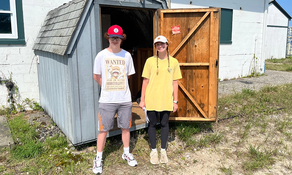
Rutgers students Conor Nixon and Jessica Defeo visited the Moriches CODAR station to learn how radar technology monitors our coastal waters.
Rutgers students Conor Nixon and Jessica Defeo visited the Moriches CODAR station to learn how radar technology monitors our coastal waters.
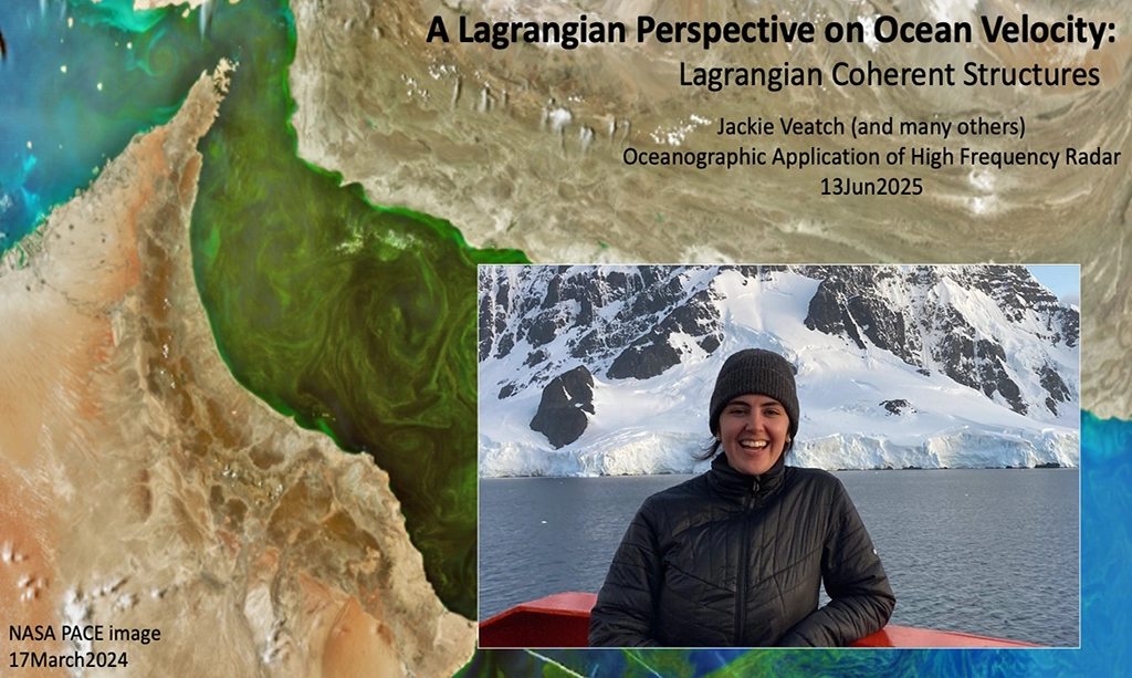
June 13, 2025 — New Brunswick, NJ The Rutgers University Masters of Operational Oceanography (MOO) program hosted a guest lecture this week by Jackie Veatch, an oceanographer and researcher specializing…
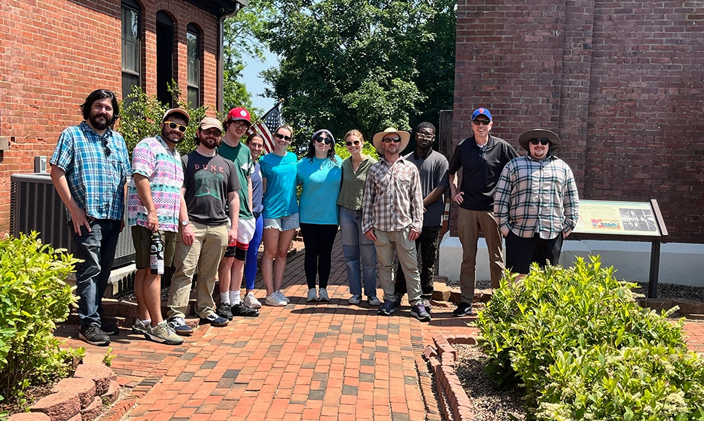
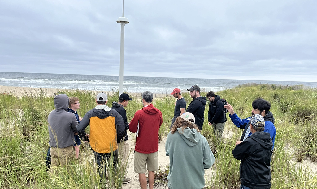
Students pursuing their Masters in Operational Oceanography (MOO) recently undertook a field trip to Sea Bright, New Jersey, where they inspected high-frequency (HF) radar stations critical for real-time monitoring of…
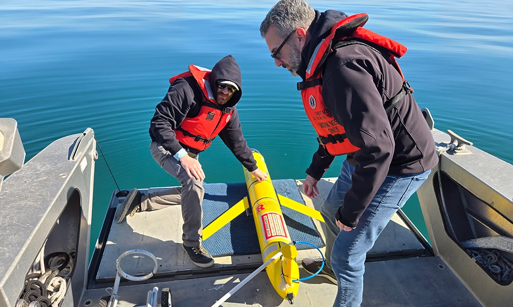
After completing the Fall mission of RU23 along the Rutgers Endurance Line, the 2024-2025 MOO students have once again successfully deployed, piloted, and recovered the glider for a Spring mission.…
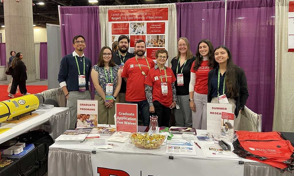
Assistant Teaching Professor Alexander López and Associate Dean Evelyn Erenrich hosted an exhibitor booth for Rutgers University at the Society for the Advancement of Chicanos/Hispanics and Native Americans in Science…
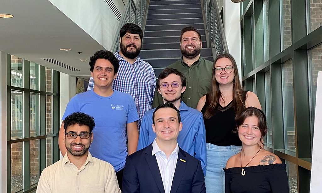
RUCOOL welcomed a new class of the Master's program in Operational Oceanography. The program emphasizes hands-on experience in studying, deploying and operating advanced oceanographic technology. Students spent this past week…
Congrats to our Masters of Operational Oceanography students for completing their degrees today. First up was the public poster session, followed by the behind-close-doors tough Q/A session with their professors,…