Dr. Hugh Roarty Visits CODAR Ocean Sensors
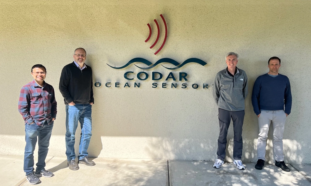
Dr. Hugh Roarty from RUCOOL visited CODAR Ocean Sensors to discuss HF radar technology and the state of ocean observing. CODAR has been an industry partner of RUCOOL dating back…
Dr. Hugh Roarty from RUCOOL visited CODAR Ocean Sensors to discuss HF radar technology and the state of ocean observing. CODAR has been an industry partner of RUCOOL dating back…

Dr. Hugh Roarty, a leading expert in coastal resilience and ocean observation, presented the transformative role of High-Frequency (HF) radar technology in improving flood predictions for urban estuaries like New…
Dr. Travis Miles and Dr. Joe Gradone, along with partners at NC State and UVI, have been awarded a grant from the National Science Foundation (NSF OCE-2421622) to better understand the Caribbean…
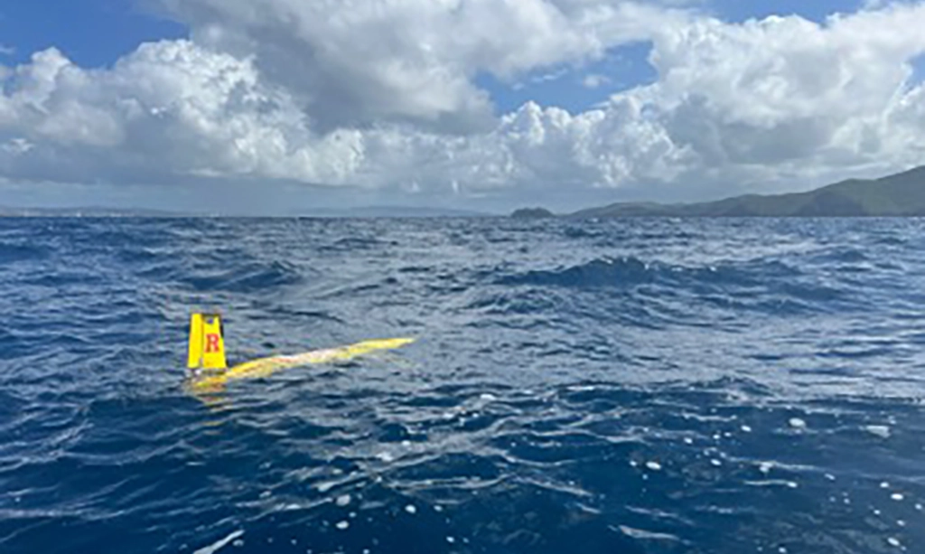
When Hurricane Beryl churned toward the Caribbean Sea last summer, Leah Hopson knew she had an exceptional opportunity. The doctoral student in oceanography at Rutgers was remotely piloting a robotic…
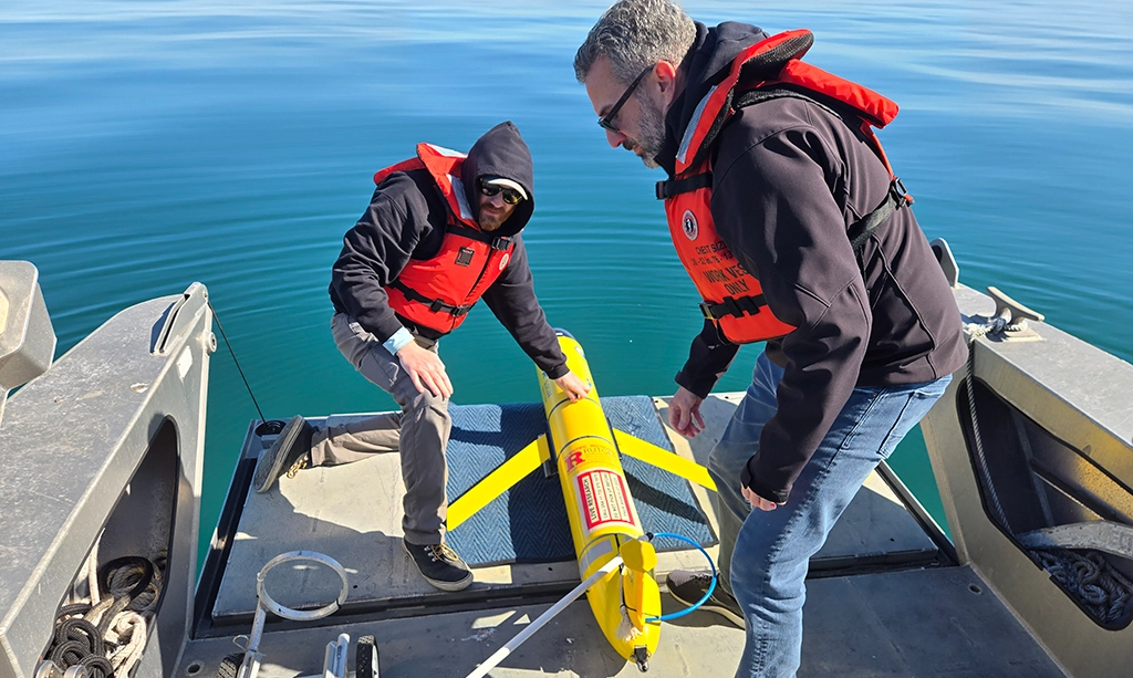
After completing the Fall mission of RU23 along the Rutgers Endurance Line, the 2024-2025 MOO students have once again successfully deployed, piloted, and recovered the glider for a Spring mission.…
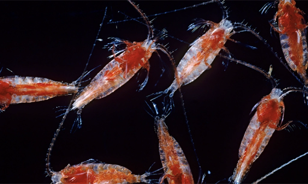
This study addresses to what degree can we predict how the development of offshore wind (OSW) might alter the distribution of zooplankton, the major food source for migrating whales along…
Animals often need to search for food, especially in the ocean were food can be patchy and can move based on the ocean currents. This study related the base of…