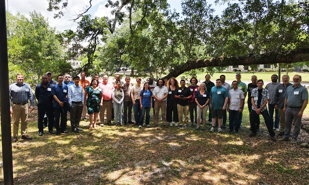
Exciting Collaboration at the ROWG Meeting in Mississippi
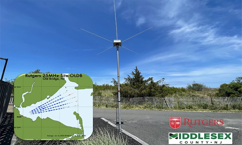
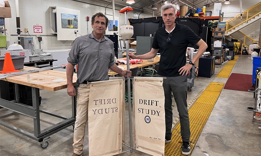
Last week, RUCOOL's high frequency radar team proudly sent Tim to the University of Southern Mississippi for the 13th Radiowave Operators Working Group (ROWG) meeting. This event was a fantastic opportunity…