July 21st, 2020
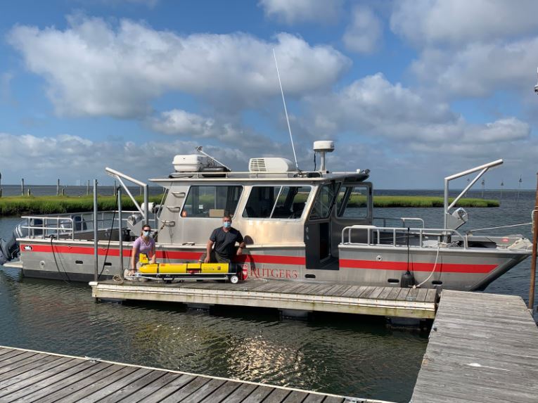
The Mid-Atlantic 2020 Glider Season began last week with the launch of RU_33 off the coast of Tuckerton, NJ. This is the first of many Mid-Atlantic glider launches for the season.
RU_33 was launched by Rutgers University and is part of a partnership that includes NOAA, the US Navy, US IOOS (including MARACOOS) and many academic partners to study atmospheric/ocean interactions during hurricane season. The 30 gliders launched this year as part of this partnership will provide data to help improve hurricane forecast models.
Learn more about the NOAA Hurricane Glider Project.
What is a glider?
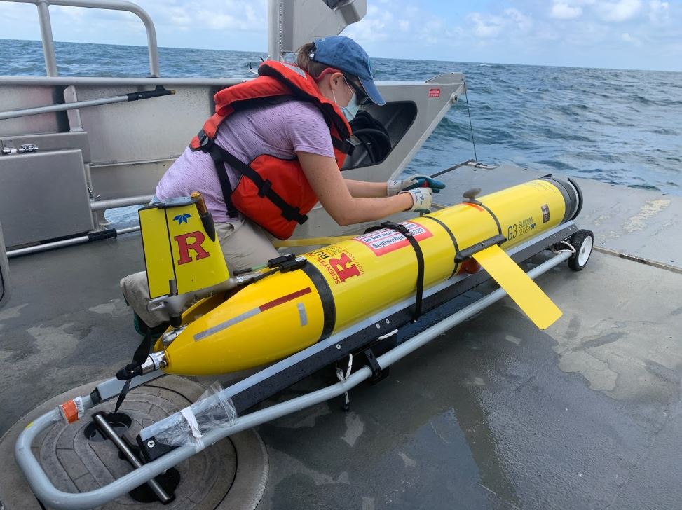
Gliders are powerful tools for gathering ocean data: they are unmanned, can be launched from almost any seagoing vessel, and can be outfitted with a variety of instruments to customize the glider to its mission. Because they require very little human assistance, gliders can be deployed and collect data during storm conditions. Click here to learn more about gliders.
How do gliders work?
Gliders gather measurements from the surface to half a mile deep, surfacing multiple times a day to transmit data. Those data travel via satellite to the U.S. IOOS Glider DAC, where they are made publicly available. From the DAC they are uploaded to the Global Telecommunications System and made available to forecasting models like those used by the National Weather Service.
Glider data as well as thousands of other datasets can be found on the MARACOOS OceansMap.
Stay tuned for more updates on Mid-Atlantic glider launches!
 Originally Posted at maracoos.org