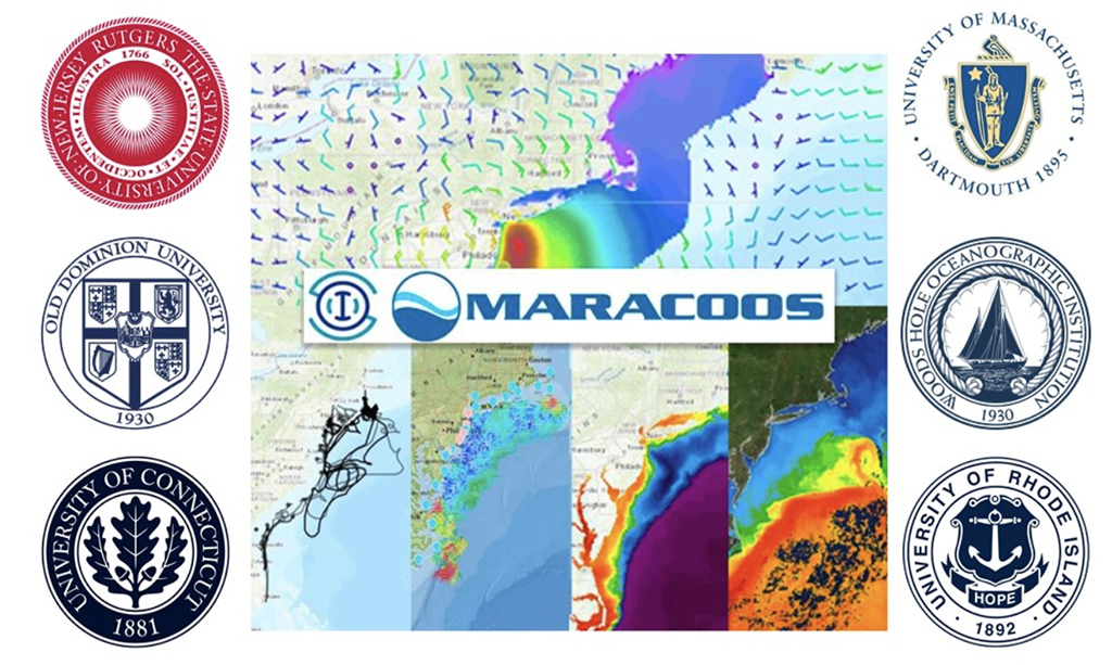
Rutgers works closely with many different partners in the MARACOOS network to make ocean observation data continuous, accurate, and impactful to the maritime community. Many different universities and agencies work together within MARACOOS to power understanding and prediction of ocean and coastal observing systems enabling better decisions through better data.
Mid-Atlantic ports handle 25% of the total U.S. waterborne commerce and include the nation’s second largest container port, the nation’s largest petroleum product hub, and the world’s largest Naval base. Ports, waterway navigation and piloting, and small craft operations require reliable, quality data products for decision making.
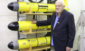
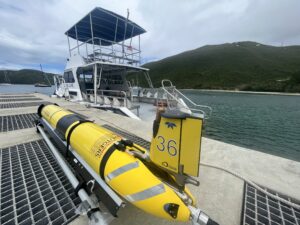
The US Coast Guard (USCG) relies on surface current predictions from the Rutgers Doppio system. The system provides more accurate capacity to simulate motion of search targets in the Mid-Atlantic Bight, an area of intense maritime commerce, fishing, and increasing recreational use.
The robust High Frequency Radar (HFR) network, which has been a data supplier to the USCG since May 2009, is also a well used tool. The observations made by this network feed the Short-Term Predictive System (STPS). STPS creates the detailed surface current predictions 24 hours into the future for the Mid-Atlantic Bight (MAB) region. NOAA National Ocean Service uses HFR to enhance its PORTS products for New York Harbor and Chesapeake Bay. In addition, the data are used by National Weather Service Weather Forecast Offices in AWIPS2 and for Nearshore Wave Prediction Systems.
The USCG also uses SST products for SAR operations. Additionally, the SST products are used by many stakeholders for ocean data assimilation (regional scientists), as well as by the recreational fishing community and boating community for effective navigation.
Full article here.