
Sam Coakley is a Master!
Congratulations to RUCOOL grad student Sam Coakley on successfully completing his Masters defense entitled “The evolution of a stratified upper ocean under tropical cyclone forcing.” Sam will be moving on…
Congratulations to RUCOOL grad student Sam Coakley on successfully completing his Masters defense entitled “The evolution of a stratified upper ocean under tropical cyclone forcing.” Sam will be moving on…
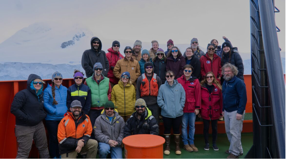
The National Science Foundation has funded RUCOOL to update their Palmer Long-Term Ecological Research (LTER) Website. The Palmer LTER study area is located to the west of the Antarctic Peninsula…
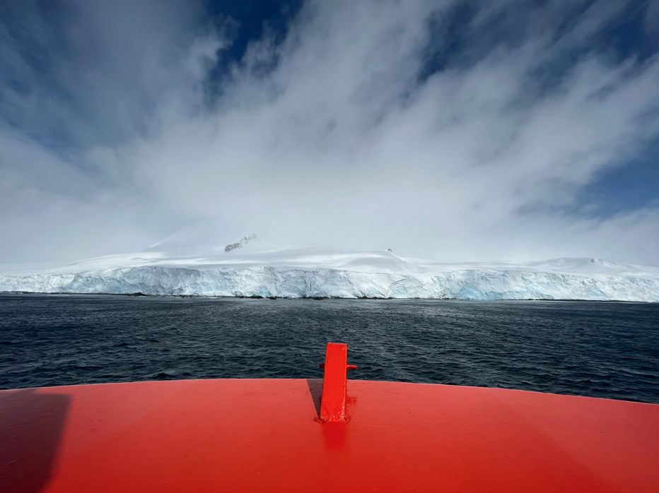
Rutgers has been participating in the National Science Foundation’s Long-Term Ecological Research (LTER) project at Palmer Station Antarctica for over 30 years. During the fall of 2021, graduate students Quintin…
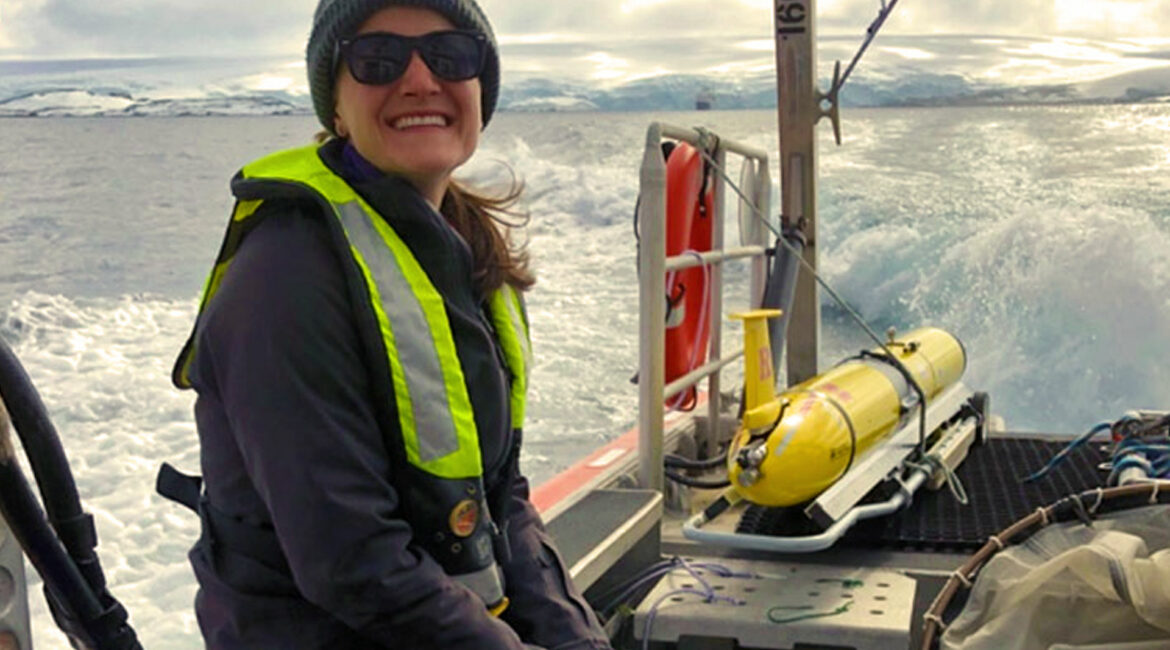
Congratulations to Dr. Schuyler Nardelli on defending her PhD thesis entitled "Seasonal dynamics of plankton ecology in coastal Antarctica." Schuyler will be moving on to a Knauss Marine Policy Fellowship…
Travis Miles (lead author) and Scott Glenn partnered with dozens of other scientist on this paper that provides a broad overview of the ongoing US hurricane glider project and details…
SRI has extended its existing High Frequency Radar (HFR) scatter model for bistatic operation and is working on the initial steps in validation of that model with real data. The…
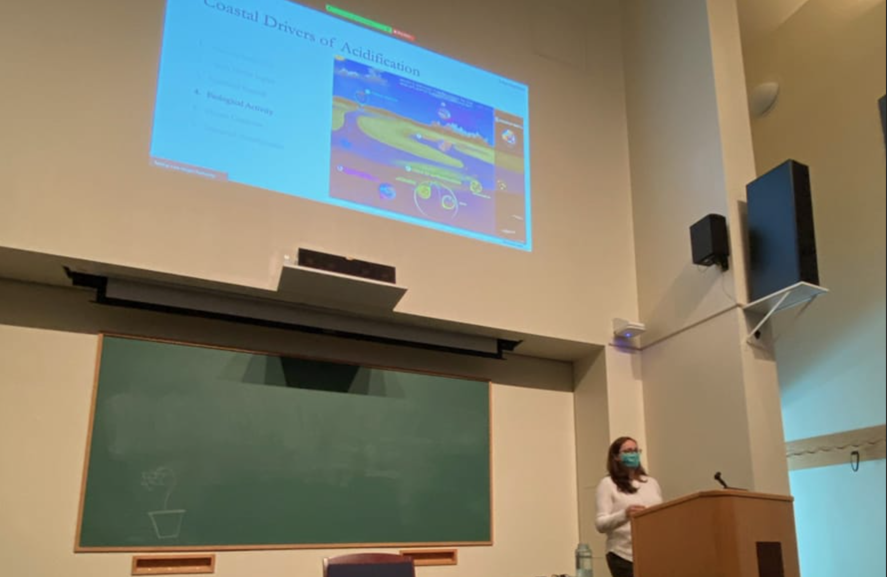
Congratulations to Dr. Liza Wright-Fairbanks @lizawf for successfully defending her dissertation, "Observing seasonal cycles, drivers, and potential biological impacts of ocean acidification in the Mid-Atlantic Bight"!! She also presented in…