The Oceanography Graduate Student Association was named the Graduate Student Organization of the Year for the third year in a row!
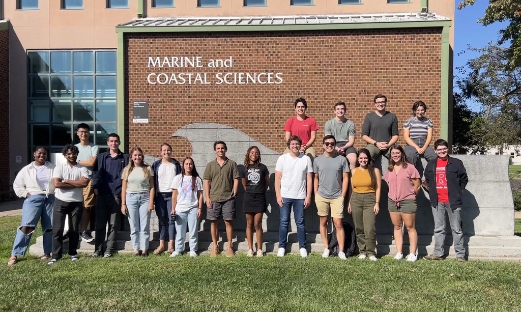
The Oceanography Graduate Student Association was named the Graduate Student Organization of the Year for the third year in a row! OGSA is comprised of graduate students in the Department…