-
Sally Approaching SG601
Posted on September 13th, 2020 No commentsSally is currently approaching the Gulf Coast and is still expected to intensify over the next day https://www.nhc.noaa.gov/text/refresh/MIATCDAT4+shtml/132040.shtml? Currently glider SG601, a NOAA NDBC glider piloted by Kevin Martin at USM is heading southeastward toward the eye of the storm. SG601 is on track to enter a warm and salty eddy that is within Sally’s projected path over the next 24 hours
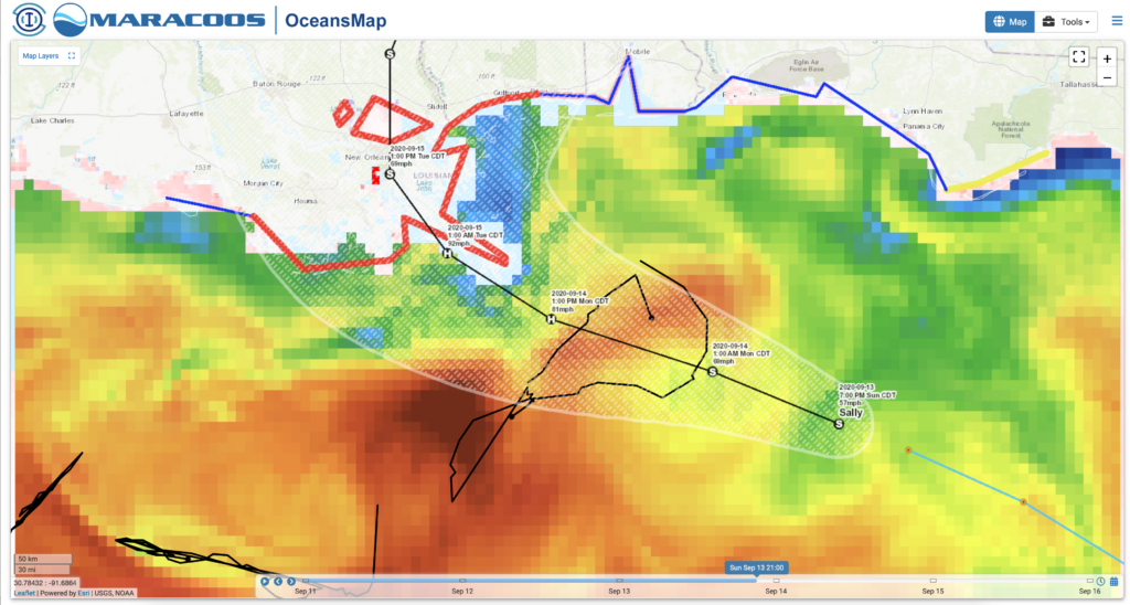
Sea Surface Temeperature from the Navy Global Ocean Forecasting System (GOFS) 3.1
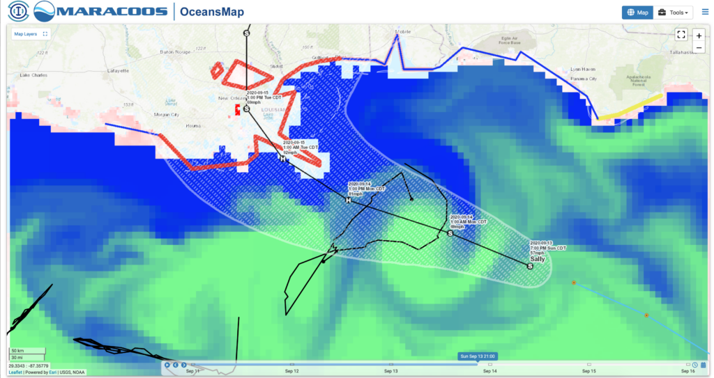
Sea Surface Salinity from the Navy GOFS model
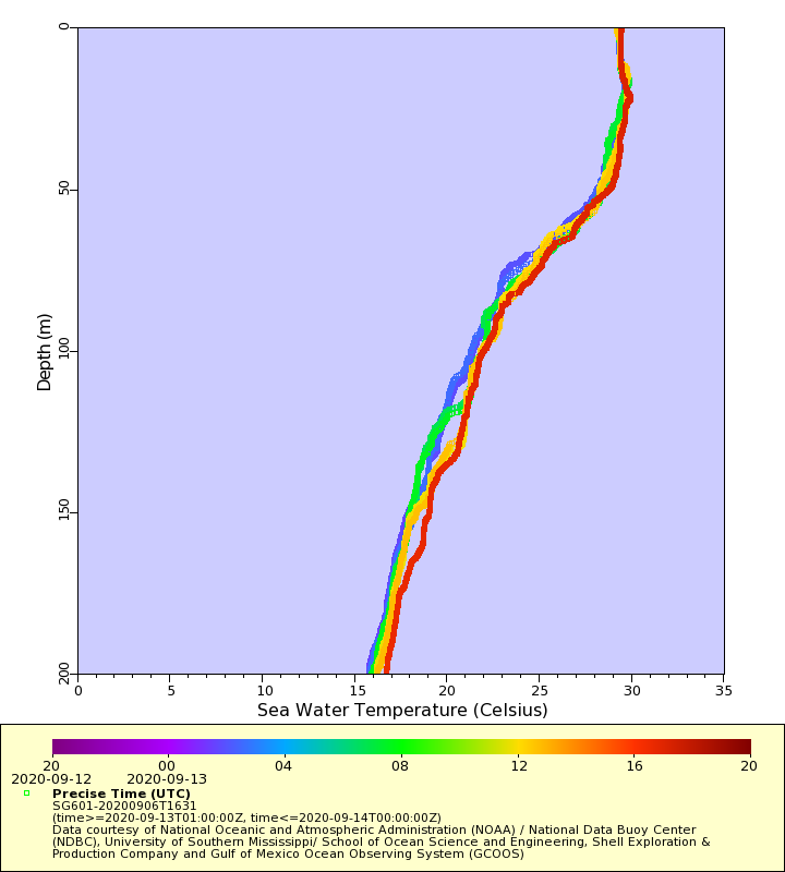
Eddies like these can contain additional ocean heat that, if conditions are right, could be used as an energy source for the storm. We’ll be looking closely at SG601 data as it simultaneously enters the eddy, and starts to be influenced by the eye of the storm. Currently, profiles of temperature from SG601, show a warm surface layer over the upper 50 meters, that has not yet started to mix with underlying cooler waters.
-
“Rapid Intensification is a possibility…”
Posted on September 13th, 2020 No commentsHere is a screen shot of the 5 am National Hurricane Center discussion.
Last sentence in the screen shot tells us to watch the core of Sally on Monday. That rapid intensification is a possibility, ands stronger solutions like HWRF can’t be dismissed.
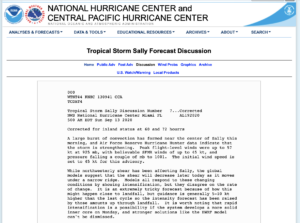
Lesson learned from Laura. Full text of the discussion here.
https://www.nhc.noaa.gov/text/refresh/MIATCDAT4+shtml/130941.shtml?
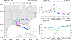
Latest forecasts are below. HMON rapidly intensifies nearly to Cat 4. HMON is in the middle, intensifying to nearly to Cat 2. Experimental HAFS stays a Tropical Storm. 50 knot spread in the intensity guidance. Plenty of room for new science.