
HF Radar Daily Mean Vector Plots
These are daily averages of the 6 km surface currents around Puerto Rico.
Figures availble from 12/01/16 to 06/01/17
Date:
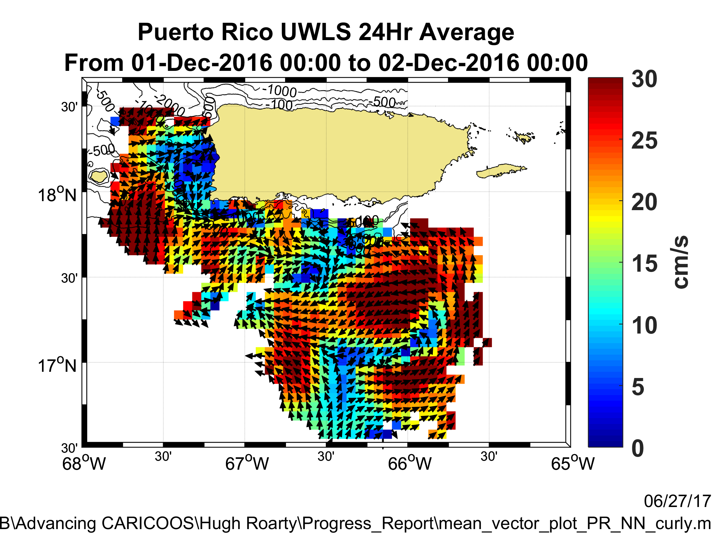
These figures are products of the data provided by the National HF Radar Network