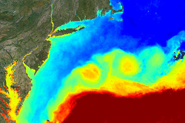
Are you planning on heading out on the water for Memorial Day Weekend? Before you head out, check the RUCOOL Satellite Page for the latest satellite data to supplement the summer kick-off fun! For more information on our satellites and how to interpret the information, check out our How to Read a Sea-Surface Temperature Map
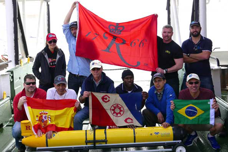
After 282 days at sea, on March 31, 2016 the Rutgers Slocum Electric Underwater Glider, RU29, “Challenger” was recovered off the coast of South Africa completing the first crossing of the South Atlantic by an autonomous underwater vehicle. The glider was launched from Ubatuba, Brazil on June 23, 2015. This also completes the first circumnavigation […]
The National Science Foundation (NSF) and the Ocean Observing Steering Committee hosted a meeting at NSF in early January for the coastal oceanography community to harken the opening of the OOI program. RU COOL along the Rutgers Discovery Informatics Institute has been building the cyberinfrastructure component of the OOI in partnership with Raytheon and Applied […]